settlements
Ogilby's Hampshire 1675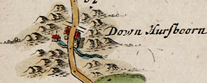
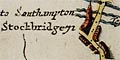
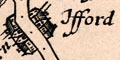
Settlements are shown on the route and beside the route - if they are not far away, or are indicated by side turnings 'to ...'. The position of settlements off the route can be judged roughly, Ogilby:-
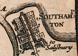
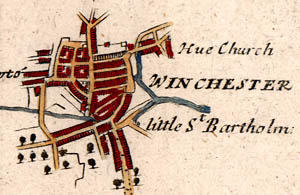
9. Whatever is posited upon or within the Scroll, is presum'd to bear the same Scale as the Road it self.Settlements are drawn either by pictures or by symbols.
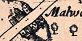
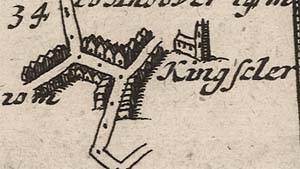
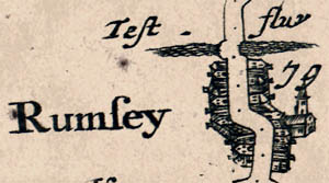
5. Capital Towns are describ'd Ichnographically, according to their Form and Extent; but the Lesser Towns and Villages, with the mansion houses, Castles, Churches, Mills, Beacons, Woods, &c. Scenographically, or in Prospect.That is to say you should expect a ground plot (ichnographia) of a town, but a pictorial symbol (scene) of lesser places. The extent of a larger place along the road is given in furlongs in the text description of the routes.
Do notice that buildings are often drawn with a shadow to the north side.
Remember that a town, or city, might appear on more than one plate if it is the end of one route and the beginning of another. For example, Andover appears at the end of route 25, and at the start of both routes 26 and 32. And Alton is a junction, appearing on both routes 51 and 81.
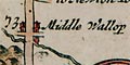
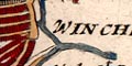
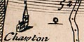
The labelling of settlements is done in assorted styles. Block capitals tends to indicate large places, probably the cities; upright and bold are used for larger, italic and lowercase for smaller places - but the usages are not consistent.
Some of the churches are labelled '... church' but have been taken to imply the village
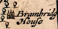
eg pl.51(4) at mile 70, Brambridg House
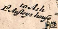
and pl.51(1) at mile 35, Ld Ansleys house
With the owner's name but no house name it is more difficult to know which the house is today.