
Index sheet
Saxton's
Hampshire
1575
|
Index sheet Saxton's Hampshire 1575 |
| |||||||||
|
reference grid 
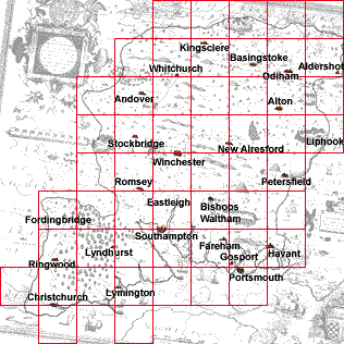
| To provide standardised links between maps of different period an index grid has been overlaid on Saxton's map. The index grid used is the familiar National Grid Reference system for the United Kingdom. The application of the ngr is crude, simple mathematics based on the positions of about 20 towns, ignoring any differences of map projection. |
| Notes about grid references. |

| Saxton's Hampshire 1575, contents |

| Old Hampshire Mapped |