
General Map
Senex's Hampshire 1719-57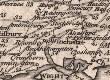
General View of Ogilby's Direct and Principal Cross Roadsfrom which this is the Hampshire portion. The map is an index map; the numbers against road segments refer to plates in the road book.
The scale is about 1 to 3200000, about 50 miles to 1 inch.
The sheet size about 23x18cm.


