 |
more images |
|
FA1965.589:-
|
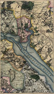
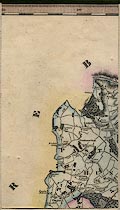
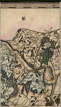
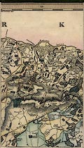
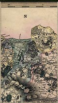
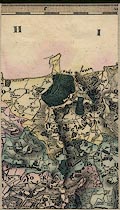
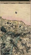
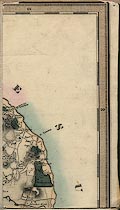
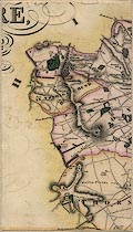
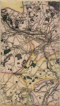
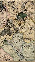
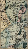
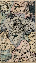
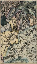
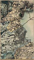
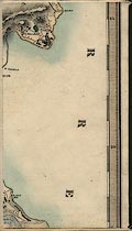
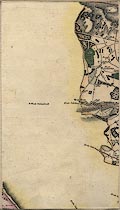
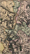
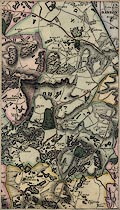
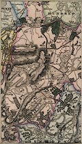
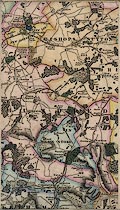
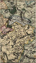
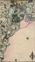
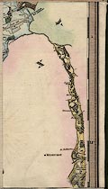
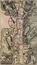
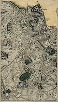
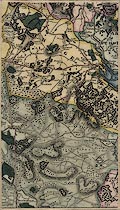
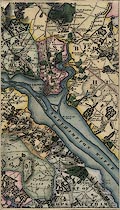
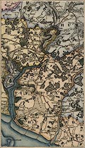
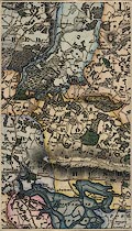
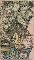
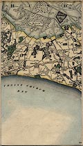
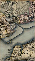
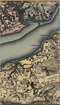
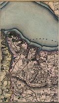
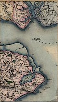
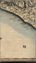
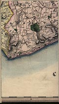
Map, hand coloured steel plate engraving, Map of the County of Southampton,
ie Hampshire, with the Isle of Wight, scale about 1 mile to 1 inch, by C and J
Greenwood and Nathaniel L Kentish, published by Greenwood, Pringle and Co,
Regent Street, Pall Mall, London, 1826.
|
|
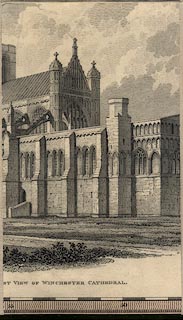
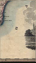
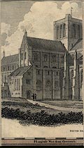
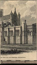
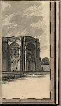
The map has a vignette view of Winchester Cathedral.
|
|
The map covers 0d41m to 1d58m W, 50d32m to 51d24m N; Winchester is at 1 degree
18 1/4 minutes West which agrees near enough with the statement on the bottom
border that the scale is 'Longitude West from Greenwich'.
|
|
The map is six sheets sectioned for folding and mounted together making one
large map, its slip case is an elegant mock tooled leather bound book.
|
|
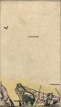
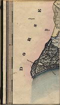
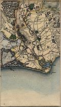
For study purposes, not on the original, sectionned pieces of the map are
numbered 1..9,A across, 1..6 upwards, from the bottom left, which is part 11.
|
|
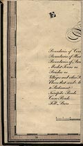
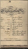
map feature:-
|
hand coloured & sectioned for folding & mounted & folded & slip
case & compass rose & scale line & lat and long scales
(rectangular?) & coast form lines & rivers & relief & hill
hachuring & woods & forests & trees & parks & county &
hundreds & parishes & settlements & roads & turnpike roads &
canals & mills & turnpike gates & table of symbols &
vignettes |
|
inscription:- |
-on- top left
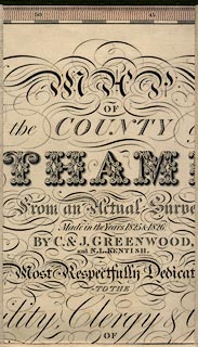
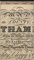
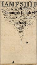
MAP / OF / the COUNTY of / SOUTHAMPTON / from an Actual Survey / Made in the
Years 1825 & 1826. / BY C. & J. GREENWOOD, / AND N. L. KENTISH. / Most
Respectfully Dedicated / TO THE / Nobility, Clergy & Gentry / OF / HAMPSHIRE, /
BY THE PROPRIETORS / GREENWOOD, PRINGLE & Co. / Regent St. Pall Mall / London. /
PUBLISHED / JUNE 15th. / 1826.
-- title |
|
inscription:- |
embossed -on- slip case spine
GREENWOOD'S / MAP OF / HAMPSHIRE
|
|
scale line:-
|
7+1 miles = 198.9 mm |
|
dimension:- |
wxh, sheet = 73x52cm (each of the six original sheets) |
|
wxh, mounted map = 149x158.5cm |
|
wxh, map = 1456x1567mm (no allowance for gaps in mounting) |
|
scale = 1 to 65000 ? (1 to 64730 from scale line) |
|
scale = 1 to 64000 ? (from town positions using DISTAB.exe) |
|
scale = 1 to 64000 ? (7 minutes latitude = 202.1 mm is 1 to 64261) |
 |
|

|
Map Group -- Greenwood 1826 -- with Research Notes
|
 |
|

| top of page |
 |
|
|
town names:-
|
|
County of Southampton
|
Hampshire
|
|
map name
|
modern name
|
|
Christ Church
|
Christchurch
|
|
|
town names:-
|
|
County of Southampton
|
Hampshire
|
|
map name
|
modern name
|
|
Fordingbridge
|
Fordingbridge
|
|
Ringwood
|
Ringwood
|
|
|
town names:-
|
|
County of Southampton
|
Hampshire
|
|
map name
|
modern name
|
|
Lymington
|
Lymington
|
|
|
town names:-
|
|
County of Southampton
|
Hampshire
|
|
map name
|
modern name
|
|
Romsey
|
Romsey
|
|
Stockbridge
|
Stockbridge
|
|
|
town names:-
|
|
County of Southampton
|
Hampshire
|
|
map name
|
modern name
|
|
Andover
|
Andover
|
|
|
town names:-
|
|
County of Southampton
|
Hampshire
|
|
map name
|
modern name
|
|
Southampton
|
Southampton
|
|
|
town names:-
|
|
County of Southampton
|
Hampshire
|
|
map name
|
modern name
|
|
Whitchurch
|
Whitchurch
|
|
|
town names:-
|
|
County of Southampton
|
Hampshire
|
|
map name
|
modern name
|
|
Bishops Waltham
|
Bishops Waltham
|
|
|
town names:-
|
|
County of Southampton
|
Hampshire
|
|
map name
|
modern name
|
|
Winchester
|
Winchester
|
|
|
town names:-
|
|
County of Southampton
|
Hampshire
|
|
map name
|
modern name
|
|
Kingsclere
|
Kingsclere
|
|
|
town names:-
|
|
County of Southampton
|
Hampshire
|
|
map name
|
modern name
|
|
Gosport
|
Gosport
|
|
Portsmouth
|
Portsmouth
|
|
|
town names:-
|
|
County of Southampton
|
Hampshire
|
|
map name
|
modern name
|
|
Fareham
|
Fareham
|
|
|
town names:-
|
|
County of Southampton
|
Hampshire
|
|
map name
|
modern name
|
|
New Alresford
|
Alresford
|
|
|
town names:-
|
|
County of Southampton
|
Hampshire
|
|
map name
|
modern name
|
|
Basingstoke
|
Basingstoke
|
|
|
town names:-
|
|
County of Southampton
|
Hampshire
|
|
map name
|
modern name
|
|
Havant
|
Havant
|
|
|
town names:-
|
|
County of Southampton
|
Hampshire
|
|
map name
|
modern name
|
|
Petersfield
|
Petersfield
|
|
|
town names:-
|
|
County of Southampton
|
Hampshire
|
|
map name
|
modern name
|
|
Alton
|
Alton
|
|
Odiham
|
Odiham
|
|
 |
|

| top of page |
| MN: 30.1.2004 |


