Map Collection

Dummer 1698
more images
FA1991.24:- 
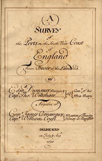
Report, with charts, A Survey of the Ports on the South West Coast of England from Dover to the Lands-end, made by Edmund Dummer and Captain Thomas Wiltshaw, Royal Navy, 1698.
Made together with Captain James Conaway and Captain William Cruft, Masters of Trinity House at Deptford.
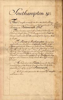
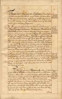
Bound volume of manuscript maps with descriptions of particular ports and harbours; some towns shown in plan; harbours surveyed - original spellings - Rye, Pemsey, Cookmere, New-haven, Shoreham, Arundell, Southampton &c, Bussleton, Beauley, Lymington, Christ Church, Poole and Purbeck, Weymouth & Melcomb Regis, Exmouth, Dartmouth, Fowey, Falmouth and Helford.
The maps are documented individually.
inscription:-  ms -on- title page A / SURVEY / of / the Ports of the South West Coast / of / England / from Dover to the Lands-End
dimension:-  = 9 x 14 inches
wxh, page = 23.5x35.5cm

  Map Group -- Dummer 1698 -- with Research Notes


  top of page
MN: 13.1.2004