 |
more images |
|
B1990.1794:-
|
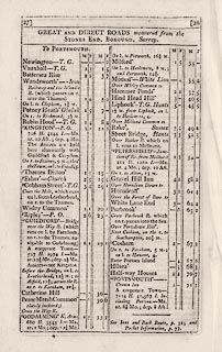
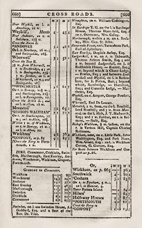
Book, Cary's New Itinerary, by John Cary, 181 Strand, London, 6th edn,
1815.
|
|
The maps in the book are documented separately.
|
|
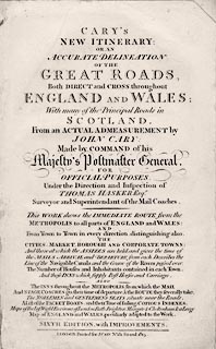
inscription:- |
printed -on- title page
CARY'S / NEW ITINERARY: / OR AN / ACCURATE DELINEATION / OF THE / GREAT
ROADS, / Both DIRECT and CROSS, throughout / ENGLAND AND WALES; / With many of
the Principal Roads in / SCOTLAND. / From an ACTUAL ADMEASUREMENT by / JOHN
CARY; / Made by COMMAND of his / Majesty's Postmaster General. / FOR / OFFICIAL
PURPOSES. / Under the Direction and Inspection of / THOMAS HASKER Esqr. /
Surveyor and Superintendent of the Mail Coaches. / This WORK shows the IMMEDIATE
ROUTE from the / METROPOLIS to all parts of ENGLAND and WALES: / AND / From Town
to Town in every direction, distinguishing also / THE / CITIES, MARKETS,
BOROUGHS AND CORPORATE TOWNS; / And those at which the ASSIZES are held and
gives time of / the MAILS ARRIVAL and DEPARTURE from each. Describes the / Line
of the Navigable Canals and the Course of the Rivers passed over. / The Number
of Houses and Inhabitants contained in each Town. / And those INNS which supply
Post Horses and Carriages. / ALSO / The INNS throughout the METROPOLIS from
which the MAIL / And STAGE COACHES go, their time of departure & the Route they
severally take. / The NOBLEMEN and GENTLEMEN'S SEATS situate near the Roads. /
... / SIXTH EDITION ...
|
|
dimension:- |
wxh = 14x20cm |
 |
|

|
Map Group -- Cary 1815 -- with Research Notes
|
 |
|


