 |
more images |
B1990.1795.1:-

|
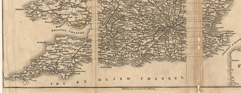
Road map, uncoloured engraving, Map of England and Wales, scale about 39
miles to 1 inch, inserted in Cary's New Itinerary, by John Cary, 181 Strand,
London, 1803.
|
|
map feature:-
|
not coloured & folded (printed with margins within the map along which to
fold, partly dissected) & coast shaded & country & county &
table of counties (keyed to map by numbers) & settlements & roads &
post roads & table of symbols & title cartouche (plain oval) |
|
inscription:- |
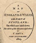
printed -on- title cartouche
A / MAP / OF / ENGLAND & WALES / with PART of / SCOTLAND; / On which are
laid down / The whole of the ROADS described / IN / CARY'S / NEW ITINERARY, /
1803.
|
|
dimension:- |
scale = 1 to 2500000 ? (approx, 1 to 2494269 ?)
|
 |
|

|
Map Group -- Cary 1802
|
 |
|
|


|
 |
|

| top of page |
| MN: 6.1.2004 |


