 |
more images |
|
FA1997.115:-
|
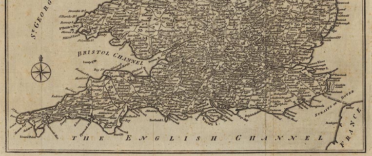
Map, road map, uncoloured engraving, England and Wales, scale about 1 to
1900000, about 30 miles to 1 inch, by Thomas Kitchin, published about
1763-64.
|
|
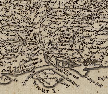
Direct and cross roads over the whole country, with road distances; a similar
selection to Ogilby's.
|
|
map feature:-
|
not coloured & compass rose (north marked by fleur de lys) & county
& table of counties & settlements & title cartouche & roads
& road distances |
|
inscription:- |
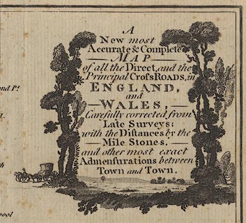
printed -on- cartouche
A / New most / Accurate & Complete / MAP / of all the Direct, and the /
Principal Cross ROADS, in / ENGLAND, / and / WALES, / Carefully corrected from /
Late Surveys: / with the Distances by the / Mile Stones, / and other most exact
/ Admensurations between / Town and Town.
-- landscape and trees, with a post chaise and a milestone |
|
dimension:- |
scale = 1 to 1900000 ? (1 to 1913187 from London to Bristol distance) |
|
wxh, sheet = 47x39cm |
|
wxh, plate = 361x359mm |
|
wxh, map = 349x346mm |
 |
|

|
Map Group -- Kitchin 1763 -- with Research Notes
|
 |
|
|


|
 |
|

| top of page |
| MN: 18.11.2001 |


