|
more images |
|
FA1997.118:-
|
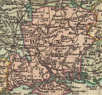
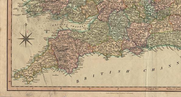
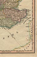
Map, coloured engraving, England and Wales, scale about 18 miles to 1 inch,
published by Henry G Teesdale and Co, 302 Holborn, London, about 1830.
|
|
inscription:- |
printed -on- upper right
ENGLAND & WALES
|
|
inscription:- |
printed -on- bottom
London, Published by Henry Teesdale & Co. 302, Holborn
|
|
map feature:-
|
hand coloured & compass rose (north indicated by fleur de lys) & scale
line (statute miles) & lat and long scales & table of symbols &
roads & post roads & rivers & canals & road distances &
county & relief |
|
dimension:- |
wxh, plate = 53x65cm |
|
scale = 1 to 1100000 ? (from scale line assuming modern mile) |
 |
|

|
Map Group -- Teesdale 1830 -- with Research Notes
|
|
|
|
|
|
|

| top of page |
| MN: 13.11.2001 |