|
FA1998.9:-
|
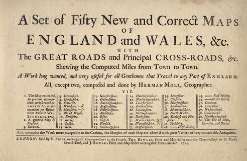
Title page, from an atlas of England and Wales, showing roads and distances,
published by Herman Moll, Devereux Court, Strand, London, 1724.
|
|
inscription:- |
printed -on-
A Set of Fifty New and Correct maps / OF / ENGLAND and WALES, &c. / WITH /
The GREAT ROADS and Principal CROSS-ROADS, &c. / Shewing the Computed Miles from
Town to Town. A Work long wanted, composed and done by HERMAN MOLL, geographer.
/ ...
|
|
inscription:- |
printed -on- bottom
LONDON: Sold by H. MOLL over-against Devereux-Court in the Strand; THO.
BOWLES, Print and Map-Seller near the Chapter-House in St. Paul's / Church-Yard,
and J. BOWLES Print and Map-Seller over-against Stock-Market. 1724.
|
|
dimension:- |
wxh = 36.5x23.5cm |
 |
|

|
Map Group -- Moll 1724 -- with Research Notes
|
 |
|

| top of page |
| MN: 26.9.2001 |


