 |
more images |
|
FA1998.124:-
|
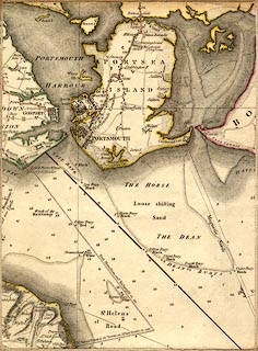
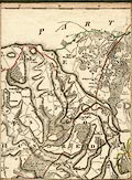
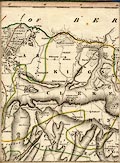
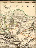
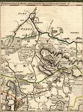
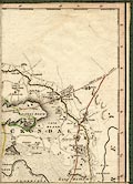
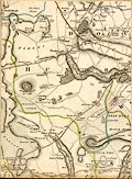
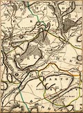
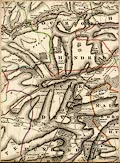
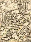
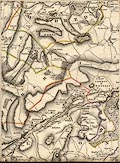
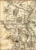
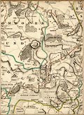
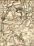
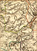
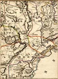
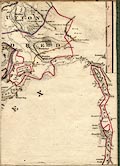
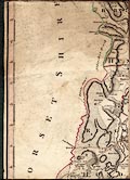
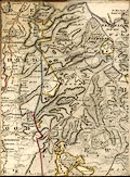
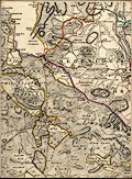
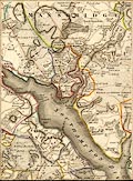
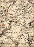
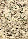
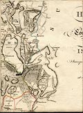
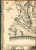
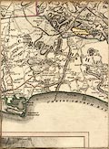
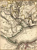
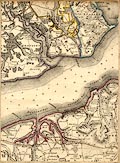
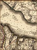
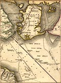
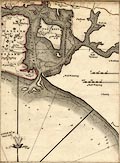
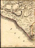
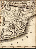
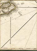
Map, hand coloured engraving folded in a slip case, Hampshire, and Isle of
Wight, scale about 1 mile to 1 inch, surveyed by Thomas Milne, published by
William Faden, Charing Cross, London, 1791.
|
|
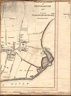
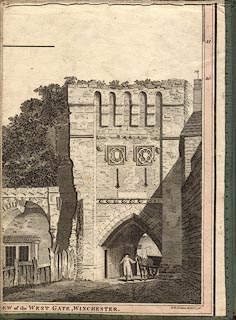
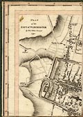
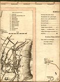
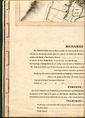
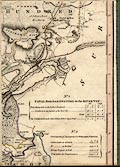
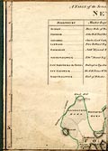
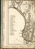
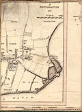
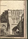
The map has insert town plans; Southampton, and Winchester, at scales about 1 to
7500, about 8 inches to 1 mile, and a view of the West Gate, Winchester; the
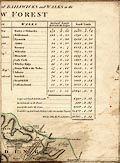
town plans have lists of sites of interest; there is a list if the bailiwicks in
the New Forest.
|
|
The map covers 0d41m to 1d56m W, 50d34m to 51d24m N; Winchester is at 1d12m W
which suggests a prime meridian 6+ minutes W of Greenwich.
|
|
The map is sectioned and mounted on linen, folded in a slip case.
|
|
For study purposes, not on the original, sectionned pieces of the map are
numbered 1..8 across, 1..6 upwards, from the bottom left, which is part 11.
|
|
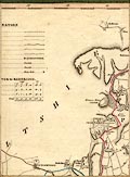
map feature:-
|
hand coloured & sectioned for folding & mounted & slip case &
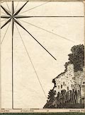
table of symbols & table of distances & vignettes & compass rose
& scale line & lat and long scales & coast form lines & rivers
& relief & hill hachuring & beacons & woods & forests &
parks & county & hundreds & settlements & roads & road
distances & canals |
|
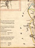
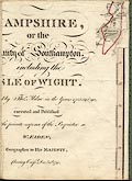
inscription:- |
printed -on-
HAMPSHIRE, / or the / County of Southampton, / including the / ISLE OF
WIGHT. / Surveyed by Thos. Milne in the Years 1788, 89 & 90 / executed and
Published / at the private expense of the Proprietor / W. FADEN, / Geographer to
His MAJESTY, / Charing Cross Decr. 20th. 1791.
|
|
inscription:- |
printed -on-
PLAN OF THE TOWN / of / SOUTHAMPTON / 1791 / Surveyed by T. Milne.
|
|
inscription:- |
printed -on-
PLAN / of the / CITY of WINCHESTER / by Thos. Milne Surveyor / 1791.
|
|
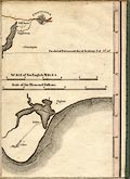
scale line:-
|
6+1 miles = 175.1 mm |
|
dimension:- |
wxh, unfolded = 143.5x148.5cm |
|
wxh, map (no allowances for gaps) = 1415x1477mm |
|
scale = 1 to 64000 ? (1 to 64337 from scale) |
|
scale = 1 to 63000 ? (from town positions using DISTAB.exe) |
|
scale = 1 to 64000 ? (7 minutes latitude = 204.3mm is 1 to 63569) |
 |
|

|
Map Group -- Milne 1791 -- with Research Notes
|
 |
|

| top of page |
 |
|
|
town names:-
|
|
Hampshire
|
Hampshire
|
|
map name
|
modern name
|
|
Christchurch
|
Christchurch
|
|
|
town names:-
|
|
Hampshire
|
Hampshire
|
|
map name
|
modern name
|
|
Fordingbridge
|
Fordingbridge
|
|
Ringwood
|
Ringwood
|
|
|
town names:-
|
|
Hampshire
|
Hampshire
|
|
map name
|
modern name
|
|
Lymington
|
Lymington
|
|
|
town names:-
|
|
Hampshire
|
Hampshire
|
|
map name
|
modern name
|
|
Romsey
|
Romsey
|
|
|
town names:-
|
|
Hampshire
|
Hampshire
|
|
map name
|
modern name
|
|
Southampton
|
Southampton
|
|
|
town names:-
|
|
Hampshire
|
Hampshire
|
|
map name
|
modern name
|
|
Andover
|
Andover
|
|
Stockbridge
|
Stockbridge
|
|
Whitchurch
|
Whitchurch
|
|
|
town names:-
|
|
Hampshire
|
Hampshire
|
|
map name
|
modern name
|
|
Bishops Waltham
|
Bishops Waltham
|
|
Fareham
|
Fareham
|
|
|
town names:-
|
|
Hampshire
|
Hampshire
|
|
map name
|
modern name
|
|
Winchester
|
Winchester
|
|
|
town names:-
|
|
Hampshire
|
Hampshire
|
|
map name
|
modern name
|
|
Kingsclere
|
Kingsclere
|
|
|
town names:-
|
|
Hampshire
|
Hampshire
|
|
map name
|
modern name
|
|
Gosport
|
Gosport
|
|
Portsmouth
|
Portsmouth
|
|
|
town names:-
|
|
Hampshire
|
Hampshire
|
|
map name
|
modern name
|
|
Alresford
|
Alresford
|
|
|
town names:-
|
|
Hampshire
|
Hampshire
|
|
map name
|
modern name
|
|
Basingstoke
|
Basingstoke
|
|
|
town names:-
|
|
Hampshire
|
Hampshire
|
|
map name
|
modern name
|
|
Havant
|
Havant
|
|
|
town names:-
|
|
Hampshire
|
Hampshire
|
|
map name
|
modern name
|
|
Petersfield
|
Petersfield
|
|
|
town names:-
|
|
Hampshire
|
Hampshire
|
|
map name
|
modern name
|
|
Alton
|
Alton
|
|
Odiham
|
Odiham
|
|
 |
|

| top of page |
| MN: 2.10.2001 |


