|
FA1999.5.5:-
|
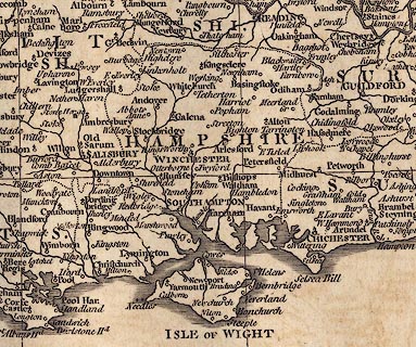
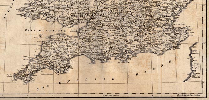
Map, uncoloured engraving, An Accurate Map of England and Wales, scale about
22 miles to 1 inch, by John Cary, London, 1789.
|
|
Following vol.1 p.CXLIX in Britannia by William Camden, translated from Latin by
Richard Gough, published London, 1789.
|
|
inscription:- |
printed -on-
AN / ACCURATE MAP / OF / ENGLAND AND WALES / FROM THE BEST / AUTHORITIES. /
Engraved by J. Cary.
|
|
scale line:-
|
40 miles = 46.2 mm |
|
dimension:- |
scale = 1 to 1400000 ? (1 to 1393371 from scale line assuming modern mile) |
|
wxh, map = 43x48.5cm |
 |
|

|
Map Group -- Cary 1789 -- with Research Notes
|
|
|

| top of page |
| MN: 25.2.2002 |