|
FA1999.8:-
|
Strip map, road map, two sided sheet taken from a road book, Britannia
Depicta or Ogilby Improv'd, text by John Owen, Middle Temple, London, maps by
Emanuel Bowen, published Thomas Bowles, St Paul's Churchyard, London, 1720
onwards.
|
|
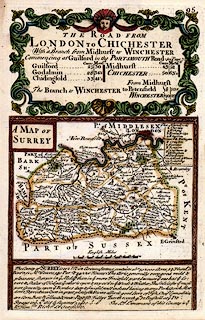
P.95 header caption for the Road from London to Chichester, West Sussex; and A
Map of Surrey with text.
|
|
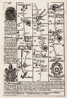
P.96 Guildford to Godalming, Chidingfold, Surrey, though Midhurst to Chichester,
West Sussex; with coat of arms and text for Midhurst, and Bishopric of
Chichester, West Sussex, and for Petersfield, Hampshire.
|
|
map feature:-
|
county & settlements & rivers & woods & relief & hillocks
& bridges & roads & compass rose & coat of arms |
|
dimension:- |
wxh = 13.5x20cm |
 |
|

|
Map Group -- Bowen 1720 -- with Research Notes
|
 |
|

| top of page |
| MN: 4.10.2001 |


