|
more images |
|
FA1999.69.1:-
|
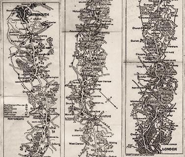
Strip map, road map, uncoloured engraving, The Portsmouth Road, scale about 4
miles to 1 inch, by G W Bacon and Co, 127 Strand London, 1906.
|
|
London; via Guildford and Godalming, Surrey; Liphook, Petersfield, Horndean, to
Portsmouth, Hampshire.
|
|
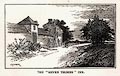
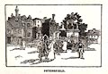
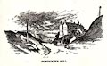
In a road book by Charles G Harper. (The road book has an illustrated cover and
3 illustrations of scenes in Hampshire, pages 172, 258, and 310.)
|
|
map feature:-
|
not coloured & compass rose & up is destination & scale line &
table of symbols & rivers & relief (just marking dangerous hills by an
arrow) & woods & forests & settlements & roads & milestones
& railways (and level crossings) |
|
scale line:-
|
1 mile = 6.6 mm |
|
dimension:- |
scale = 1 to 240000 ? (1 to 243840 from scale line) |
 |
|

|
Map Group -- Bacon 1906 -- with Research Notes
|
|
|
|

|
|
|

| top of page |
| MN: 9.11.2002 |