 |
more images |
|
FA2000.62:-
|
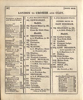
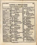
Road book, Gray's New Book of Roads, or Traveller's Guide to the Roads of
England and Wales, by George Carrington Gray, with an atlas of county maps and
general map of England and Wales, by George A Cooke, 1802, published by
Sherwood, Jones and Co, Paternoster Road, London, 1824.
|
|
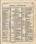
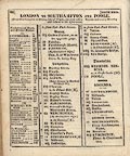
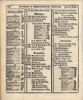
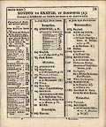
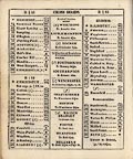
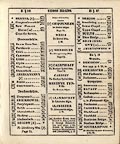
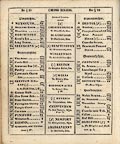
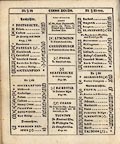
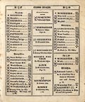
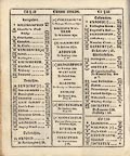
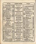
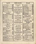
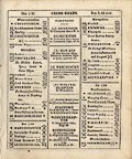
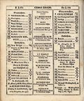
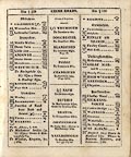
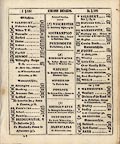
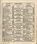
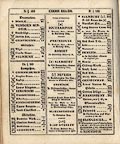
The book has a preliminary title page, advertisements, general map of England
and Wales which is an index to the roads, main title page, preface, table of
mail coach routes, table of distances on the Thames, explanation of the Direct
Roads, itineraries of Direct Roads, explanation of Cross Roads, itineraries of
Cross Roads, list of county maps, index map of county maps, county maps, and an
Index.
|
|
Printed by J G Barnard, Skinner Street, London.
|
|
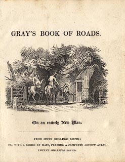
inscription:- |
printed -on- title page (first one)
GRAY'S BOOK OF ROADS. / On an entirely New Plan. / PRICE SEVEN SHILLINGS
BOUND; / OR, WITH A SERIES OF MAPS, FORMING A COMPLETE COUNTY ATLAS, / TWELVE
SHILLINGS BOUND.
-- a scene of horsemen paying their toll at a turnpike gate, in which notice a
pedestrian turnstile, milestone and table of tolls |
|
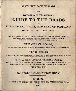
inscription:- |
printed -on- title page
GRAY'S NEW BOOK OF ROADS. / THE / TRAVELLER'S GUIDE TO THE ROADS / OF /
ENGLAND AND WALES, AND PART OF SCOTLAND, / ON AN ENTIRELY NEW PLAN, / WHEREBY /
THE DIFFERENT LINES OF ROUTE LEADING TO ANY REQUIRED POINT OF / DISTANCE ARE
BROUGHT UNDER NOTICE AT ONE REFERENCE, / AND THE VARIATION SHOWN IN THE MARGIN:
/ THE GREAT ROADS, / EACH DISTINCTLY GIVEN, IN A CONTINUOUS LINE, FROM ONE
EXTREME POINT TO / ANOTHER, AND THE / CROSS ROADS / SO ARRANGED THAT THE ROUTE
FROM ANY ONE PART OF THE KINGDOM TO ANOTHER MAY BE / TRACED WITH THE GREATEST
FACILITY: / WITH A VERY COPIOUS GENERAL INDEX, / AND SEPARATE LOCAL INDICES TO
THE PRINCIPAL TOWNS AND WATERING PLACES: / FORMING, ALTOGETHER, A COMPREHENSIVE,
USEFUL, AND PERSPICUOUS / ITINERARY. / BY GEORGE CARRINGTON GRAY. / LONDON: /
PRINTED FOR SHERWOOD, JONES, AND CO. PATERNOSTER ROW. / 1824.
|
|
inscription:- |
printed -on- back of title page
J G Barnard, Skinner Street, London.
|
|
dimension:- |
wxh, book = 12.5x15cm |
|
wxh, sheet = 12x14.5cm |
 |
|

|
Map Group -- Gray 1824 -- with Research Notes
|
 |
|


