 |
more images |
|
FA2001.20:-
|
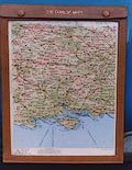
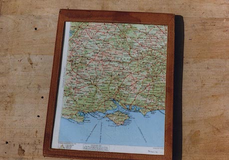
Road map, The Dunlop Maps, 16 cards in a leather case with plastic windows,
scale about 1 to 750000, about 12 miles to 1 inch, by John Bartholomew,
Edinburgh, Lothian, published by E J Burrow, Cheltenham, Gloucestershire,
1930s?
|
|
Each card is two sided; when stacked in the holder the top and bottom maps can
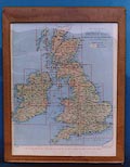
be used, viewed through the plastic windows. plate 1 is an index sheets to the
British Isles; pl.2-27 are the road maps, pl.28-29 show London and environs at a
larger scale, pl.30 the Lake District, pl.31 Snowdonia, pl.32 shows the Ministry
of Transport numbering of Main Roads.
|
|
Hampshire is on road map plate 4.
|
|
map feature:-
|
scale line & table of symbols (road gradings only) & contour diagram
& sea shaded & rivers & relief & contours & layer colouring
& shipping routes & settlements & roads & road distances |
|
inscription:- |
printed -on- holder
THE DUNLOP MAPS
|
|
inscription:- |
printed -on- bottom of road maps
DUNLOP Bartholomew, Edinburgh
|
|
scale line:-
|
20 miles = 42.8 mm (also in Km) |
|
dimension:- |
wxh = 23x30cm |
|
scale = 1 to 750000 ? (1 to 752030, from scale line) |
 |
|

|
Map Group -- Dunlop 1930s
|
 |
|
|


|
 |
|

| top of page |
| MN: 7.1.2002 |


