|
FA2001.184.1:-
|
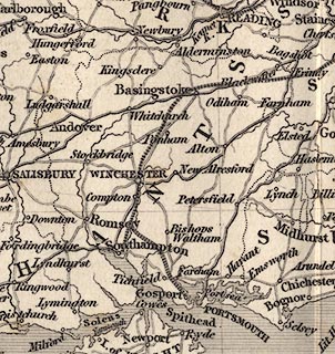
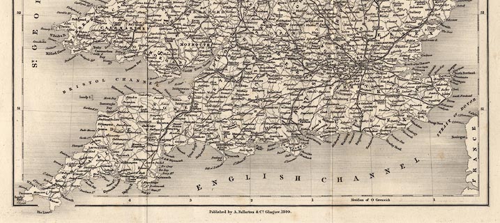
Map, uncoloured engraving, England and Wales, scale about 27 miles to 1 inch,
by J and C Walker, 1837, published by Archibald Fullarton and Co, Glasgow,
Strathclyde, 1840.
|
|
map feature:-
|
not coloured & title cartouche & lat and long scales & lat and long
grid & up is N & sea shaded & coast shaded & rivers & county
& settlements & roads & railways |
|
inscription:- |
printed -on- title cartouche
ENGLAND & WALES / BY J. & C. WALKER
|
|
inscription:- |
printed -on- bottom
Published by A. Fullarton & Co. Glasgow. 1840.
|
|
scale line:-
|
80 miles = 73.9 mm |
|
dimension:- |
wxh, sheet = 40x48cm |
|
wxh, map = 321x391mm |
|
scale = 1 to 1700000 ? (1 to 1742186 from scale line assuming modern mile) |
 |
|

|
Map Group -- Walker 1837 -- with Research Notes
|
 |
|

| top of page |
| MN: 5.8.2002 |


