|
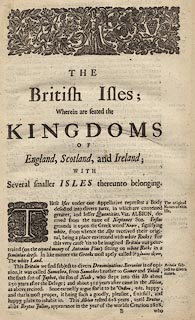
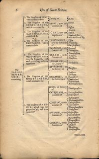
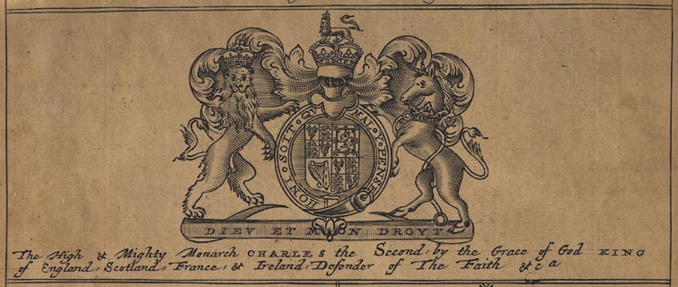
The pages are from a broken book, maps removed by a map dealer somewhen in the
past (not the vendor). Included are:- part of the preface section 'to the
Reader'; a list of subscribers indexing the reader to engravings of their coats
of arms, sales in Hampshire do not look too good; a description of the British
Isles; individual descriptions of each county; descriptions of colonial
territories in Africa, Asia, the Indies, and America; lists of names, titles and
seats of the nobility of England and Wales.
|


