 |
more images |
|
FA2002.517:-
|
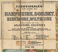
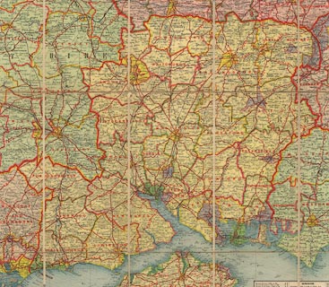
Map, Nightingale's New Survey Map of Hampshire, Dorset, Berkshire, Wiltshire,
etc, scale about 3 miles to 1 inch, by George Philip and Son, The London
Geographical Institute, London, ?published by Nightingale, 1910s?
|
|
Mounted, sectioned, and folded in a card cover.
|
|
map feature:-
|
colour printed & mounted & sectioned for folding & card cover &
up is N & scale line & index grid & table of symbols & table of
distances & gazetteer & sea tinted & sandbanks & buoys & sea
marks & lighthouses & coast shaded (and tinted) & harbours &
rivers & forests & trees & woods & parks & county &
local authorities & settlements & roads & railways & canals |
|
inscription:- |
printed -on- cover
NIGHTINGALE'S / NEW SURVEY MAP / OF / HAMPSHIRE, DORSET, / BERKSHIRE,
WILTSHIRE / AND PARTS OF THE / ADJOINING COUNTIES
-- gold on brown |
|
inscription:- |
printed -on- title, upper left
NIGHTINGALE'S / NEW SURVEY MAP / OF / HAMPSHIRE, DORSET, / BERKSHIRE,
WILTSHIRE / AND PARTS OF THE / ADJOINING COUNTIES / SHOWING / COUNTY BOROUGHS,
MUNICIAPL BOROUGHS, URBAN DISTRICTS, / RURAL DISTRICTS, RAILWAYS, ROADS, ROAD
DISTANCES, PARKS, WOODS, &c. / ... / PRICE 25/-
|
|
scale line:-
|
10+2 miles = 100.4 mm |
|
dimension:- |
wxh, sheet = 122x92cm |
|
scale = 1 to 190000 ? (1 to 192352 from scale line assuming modern mile) |
 |
|

|
Map Group -- Nightingale 1910s
|
 |
|
|


|
 |
|

| top of page |
| MN: 22.10.2002 |


