|
FA2002.651:-
|
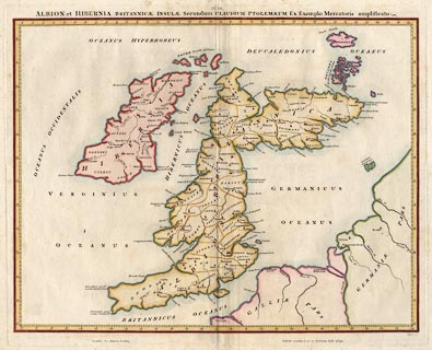
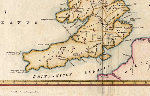
Map, hand coloured engraving, Albion et Hibernia Britannicae Insulae, from
the data of Claudius Ptolemy, 2nd century, on the example of Gerhard Mercator,
16th century, scale about 55 miles to 1 inch, engraved by Basire, published for
the Society of Antiquaries, 1793.
|


