|
FA2002.652:-
|
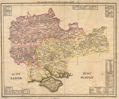
Map, thematic map, hand coloured engraving, the Diocese of Salisbury and the
Diocese of Winchester, as 1535, scale about 6 miles to 1 inch, by Aaron
Arrowsmith, London, 1814.
|
|
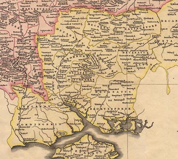
The map shows the Diocesis Sarum which includes much of Wiltshire and Berkshire,
and the Diocesis Wintonensis which is much of Hampshire, Isle of Wight, Surrey
and Guernsey.
|
|
The map is meant to show the state of the churches etc in the 26th year of the
reign of Henry VIII; Henry VIII became king in 1509, in 1534 he became supreme
head of the Church of England; in 1535 he appointed Thomas Cromwell as Vicar
General, and he devised measures to bring the church directly under crown
control.
|
|
map feature:-
|
up is N & lat and long scales & lat and long grid & table of symbols
(abbreviations) & coast shaded & rivers & diocese &
churches |
|
inscription:- |
printed -on- top
Tabula _ Juxta Valorem Ecclesiasticum XXVIo. Henrici VIII. Institutum _
Geographica
|
|
inscription:- |
printed -on- bottom
A. Arrowsmith delin. A.D. MDCCCXIV.
|
|
dimension:- |
wxh, sheet = 50x42.5cm |
|
wxh, map = 482x392mm |
|
scale = 1 to 390000 ? (1 to 393945, from 1 degree longitude at 51 degree N =
178.2 mm) |
|
scale = 1 to 390000 ? (1 to 394641 from town positions, Hampshire, using
DISTTAB.exe) |
 |
|

|
Map Group -- Arrowsmith 1814 -- with Research Notes
|
 |
|

| top of page |
| MN: 9.7.2003 |


