|
FA2003.7.141:-
|
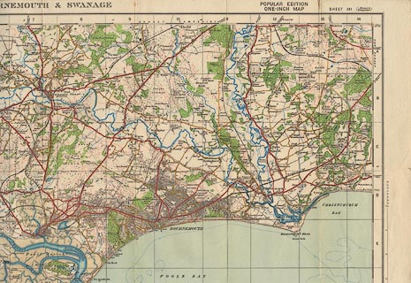
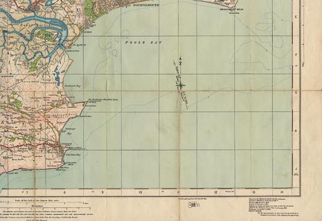
map, One inch map Popular Edition, sheet 141, Bournemouth and Swanage, scale
1 inch to 1 mile, published by the Ordnance Survey, Southampton, Hampshire,
1919; revised to 1922?
|
|
The map includes parts of Dorset, including Wimborne Minster, and also
Christchurch and Poole, which were then in Hampshire; and other parts of
Hampshire.
|
|
The cover design is by Ellis Martin, and includes a picture of a cyclist in
plusfours sitting by his bicycle on a hillside, overlooking a valley landscape,
looking at a map.
|
|
The back cover has an index sheet to maps in the south of England.
|
|
inscription:- |
printed -on- cover
ORDNANCE SURVEY / Contoured Road Map of / BOURNEMOUTH / and SWANAGE /
Popular Edition Price 2/6 / Scale: One Inch to One Mile / Sheet 141
-- black and red on cream; 'antique style' location map; coat of arms; picture
of a map user |
|
scale line:-
|
4+1 miles = 126.9 mm |
|
scale line:-
|
4+1 miles = 127.2 mm |
|
dimension:- |
wxh (folded) = 10x18cm |
|
wxh, sheet = 77.5x53.5cm |
|
wxh, map = 709x483mm |
|
scale = 1 to 63360 ? (nominal) |
 |
|

|
Map Group -- OS 1920s Popular Edition -- with Research Notes
|
 |
|

| top of page |
| MN: 13.7.2003 |


