 Map Group BOWEN 1772


The map studied is in the Library Collection, Hampshire CC Museums Service, item HMCMS:B2002.84.2.


THE Complete English Traveller; OR, A NEW SURVEY and DESCRIPTION of ENGLAND AND WALES. CONTAINING A full ACCOUNT of whatever is CURIOUS and ENTERTAINING IN THE Several COUNTIES of ENGLAND and WALES, The ISLES of MAN, JERSEY, GUERNSEY, And other ISLANDS adjoining to, and dependent on the CROWN of GREAT BRITAIN; ... TO WHICH IS ADDED, A Concise and Accurate DESCRIPTION of that Part of GREAT BRITAIN called SCOTLAND. ITS ANCIENT and PRESENT STATE, ANTIQUITIES and NATURAL CURIOSITIES: TOGETHER WITH The MANNERS and CUSTOMS of the INHABITANTS, &C., BY NATHANIEL SPENCER, Esq; By the KING's Royal LICENCE and AUTHORITY. ...
LONDON: Printed for J. COOKE, at Shakespear's-Head, in Pater-Noster-Row. MDCCLXXII.


title
map maker
coat of arms
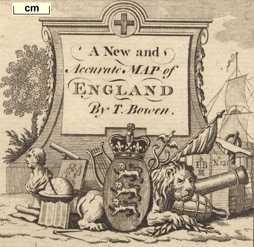
A New and Accurate Map of ENGLAND By T. Bowen.At the top of the slab is carved the cross of St George; on the ground are a lion and the arms of England, gules three lions passant gardant or, surmounted by a crown, a bust, globe, book, picture, lyre, caduceus, flag, cannon, etc; to the left trees; to the right the sails of a ship.
Printed at the top of the map:-
Engraved for the Complete English Traveller
scale
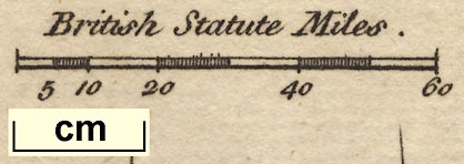
British Statute Mileschequered at 10 mile intervals, labelled at 20 mile intervals. The 60 miles = 32.1 mm giving a scale 1 to 1 to 3008120. The map scale is about:
1 to 3000000
47 miles to 1 inch
north point
up is N
lat and long grid
Longit. from LondonThe graticule is printed across the map at 1 degree intervals. The prime meridian is east of London, but not through Greenwich; it is about 3d W. The:-
longitude, Winchester = 1d 14m WThe map includes from 2.5d E to 6d W, from 48.5d to 56.5d N; England and Wales with parts of Scotland and the coast of France.
EXPLANATION
Cities are distinguish'd by Roman Capitals as ... LONDON
County Towns in Italic Capitals as ... DERBY
Borough Towns in Print as ... Windsor
Market Towns ... [circle]
Great or Direct Post Roads ... [double lines]
Cross Roads ... [single lines]
sea plain
ENGLISH CHANNEL
Spit Hd.
coast shaded
headlands
Some headlands are noticed, eg:-
St Albans Head
Selsey BillWhile harbours can be recognised only a few are labelled. The Portsmouth, Lansgtone, Chichester harbour area is badly drawn, almost just a bay with small islands.
Thames R
Severn R
HAMP SH.
WINCHESTER
SOUTHAMPTONborough towns: circle, perhaps building and tower; labelled in upright lowercase text, eg:-
Stockbridge
Andovermarket towns: circle; labelled in italic lowercase text, eg:-
Basingstoke
Alton
from London; across Surrey; through Basingstoke, Whitchurch, Andover, Hampshire; then Salisbury, Wiltshire; and on to Lands End.
branch from Andover, Hampshire; into Wiltshire; and on to Barnstaple, Devon.
from London; through Guildford, Surrey; then Petersfield, to Portsmouth, Hampshire.
branch from Basingstoke, through Stockbridge, Hampshire; across Wiltshire; to Dorchester, Dorset.
from London; across Surrey; then Alton, Winchester, to Southampton, Hampshire; and an unclear route to Poole, Dorset.


Alton
Andover
Basingstoke
-
Christ Church
Fareham
Fordingbridge
Gosport
Havant
Kingsclere
Lymington
-
Odiam
Petersfield
Portsmouth
-
Romsey
Southampton
Stockbridge
Whitchurch
Winchester


