|
Research Notes
 Map Group CARY 1790
|
 |
|
Cary 1790
|


|
|
|
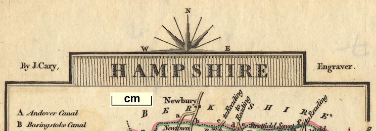
Map, Hampshire, scale about 14.5 miles to 1 inch, by John Cary, 188 Strand,
London, 1789; published 1791-1828.
|
 |
PUBLISHING HISTORY |
 |
REFERENCES |
 |
ITEMS in the Collection |
 |
|
| PUBLISHING |
HISTORY |
|
Published in 'Cary's Traveller's Companion; or, a Delineation of the
Turnpike Roads of England and Wales; shewing the immediate Rout to every Market
and Borough Town throughout the Kingdom. Laid down from the best Authorities, on
a New Set of County Maps. To which is added, An Alphabetical List of all the
Market Towns, with the Days on which they are held.. London. Printed for John
Cary, Engraver, Map & Printseller, Strand. 1st Jany 1790. |
|
The atlas has a title page, contents list, map of England and Wales, and county
maps; at the end is a list of markets; the atlas size is 4 x 6 1/4 ins. |
|
Published in many editions, eg 1790, 1791, 1806, 1810, 1812, 1814,
1817, 1819, 1821, 1822, 1824, and 1828.
|

| top of page |
 |
|
| REFERENCES |
|
|
|
Cary, John: 1789 & 1790 & 1791 & 1806 & 1810 & 1812 & 1814 & 1817 & 1819 & 1821
& 1822 & 1824 & 1828: Cary's Traveller's Companion & Delineation of the Turnpike
Roads of England and Wales: (London) |
|
also see:-
|
|

|
related map group -- Cruchley 1862
|
 |
|
|
ITEMS |
in HMCMS Map Collection (scanned item in bold)
|

|
HMCMS:FA1999.95 -- map
|

|
HMCMS:KD1996.19 -- map
|

| top of page |
|
 |
All Old Hampshire Mapped Resources |

 Map Group CARY 1790


