 Map Group KNIGHT 1797


map maker

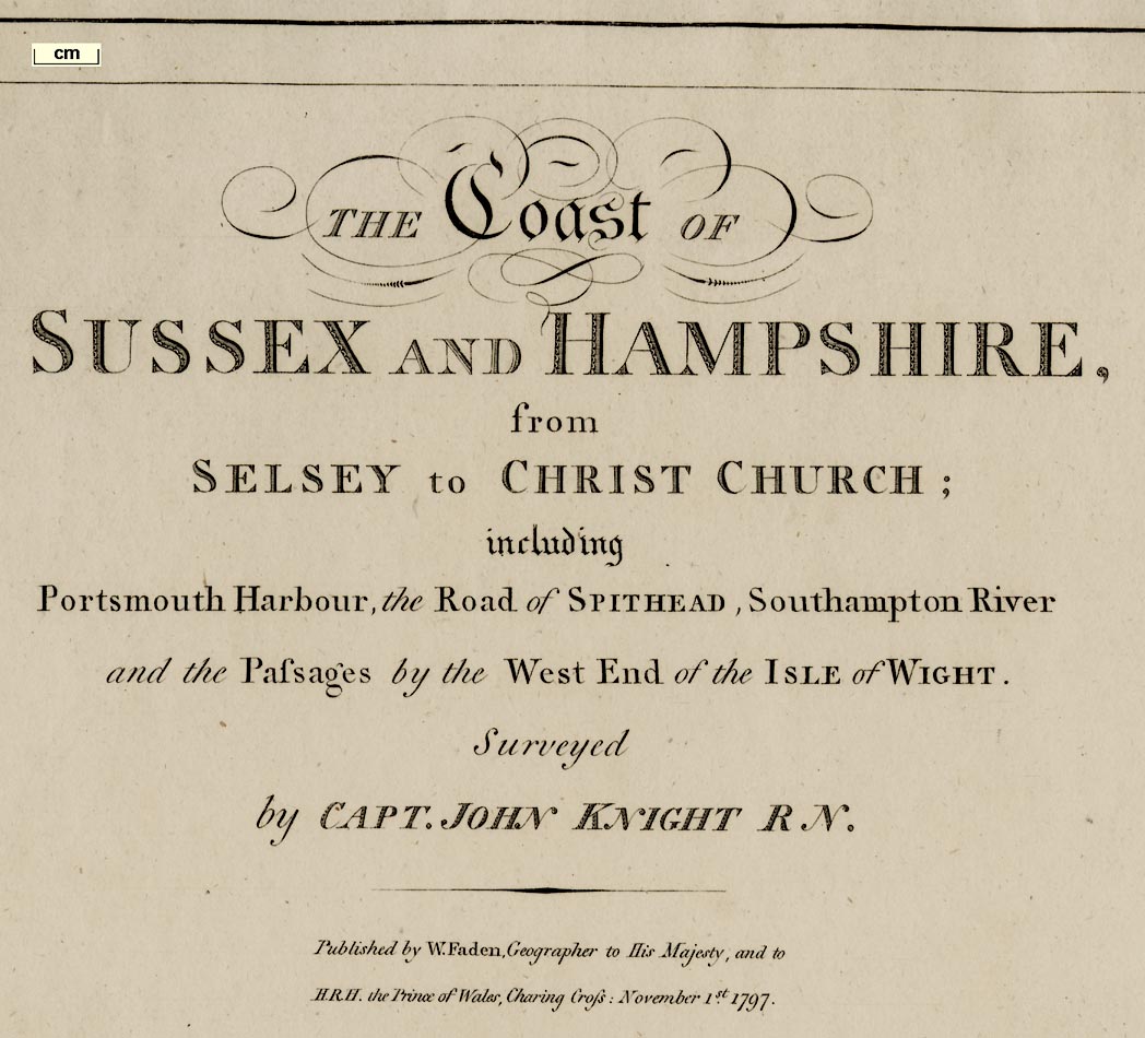
THE Coast OF SUSSEX AND HAMPSHIRE from SELSEY to CHRIST CHURCH; including Portsmouth Harbour, the Road of Spithead, Southampton River and the Passages by the West End of the ISLE of WIGHT. Surveyed by CAPT. JOHN KNIGHT R.N.
Published by W. Faden, Geographer to His Majesty and to H.R.H. the Prince of Wales, Charing Cross: November 1st. 1797.George II was king at the time, his son became George IV.
north point
up is N
magnetic variation

Printed lower right (with the scale line) are a pair of north points. There is a vertical line with the right half of a fleur de lys marking North, labelled:-
Meridianand a line 23 1/4 degrees West of North labelled:- Magnetic North. The chart is printed with 'true' north at the top of the sheet.
scale

Scale of 2 Leagueschequered and labelled in:-
MilesThe 6 nautical miles = 125.7 mm gives a scale 1 to 88500 taking the length of a nautical mile at 50d 43m N as 6082.93 ft. The chart scale is roughly:-
1 to 89000 ?
1 nautical mile to 1 inch
(1.5 miles to 1 inch)

REMARKS
Longitude of the Royal Academy at Portsmouth 1[d]. 6[m]. 15[s]. West from Greenwich
Latitude ... Do. ... at Do. ... 50.48.00 North
coast appearance
lighthouses
harbours

more dramatic cliffs at:-
CULVER CLIFFon the Isle of Wight.

To landward of the coast line there might be hill hachuring to suggest landform.
At the end of Hurst Spit are three dots, buildings, and a label:-

Light H.Some harbours are labelled, eg:-
PORTSMOUTH HARBOUR
Langston Harb.Channels are shown through the shallows in Portsmouth Harbour.
castles
fortifications
Hurst Cas. [dot for a building]
Calshot Cas. [small square]

Fort Monckton [rectangle with 4 corner bastions?]
[polygonal fortifications at Gosport]

[polygonal fortifications at RN dockyard]
[polygonal fortifications at Portsmouth]
South Sea Castle [small ?square]
[polygonal fortifications at Fort Cumberland?]There are other buildings which may be other fortifications.

Beaulieu R.
Lymington Creek [Lymington River]
Southampton River [Southampton Water=Test+Itchen]
hill hachuring
windmills

PORTS DOWNdrawn behind Portsmouth Harbour. A few trees suggest woodland; and a post mill shows a windmill.

LYMINGTON is drawn by shaded blocks for buildings along the High Street.
Gosport
PORTSMOUTHare shaded areas within their fortifications.


depth soundings
sandbanks
buoys
anchorages
tides
leading lines
sea marks
wrecks
ENGLISH CHANNEL
CHRIST CHURCH BAY
Southampton River [Southampton Water]
Stokes Bay
SPITHEAD

The sea areas are labelled with depth soundings, presumed to be in fathoms. Some of the figures are in lines suggesting that a small boat was taken from side to side of the seaway taking soundings as she went. Depths have been measured over the Solent and into the entrances of some harbours.
Sandbanks and foreshore shallows are shown by dotted areas. Some are labelled, eg:-

Bramble
Shingles
Long Middle
Spit SandOver these shallows the depth might be given in feet; for instance over the Shingles:-
2 feetand over the Bramble, south west to north east:-
8 feet / 6 feet / 10 feet / 1the last figure being a fathom. These depths are presumably at low water - but neaps or springs?
Buoys are drawn, and described or named, on many of the sandbanks and some foreshore areas. For example, on the south west end of the Bramble is a can with a flag labelled:-
RedOn the south east tip of Spit Sand is:-
Spit BuoyAnd the west and south edges of the Horse and Dean Sands, which are not named, has a series of buoys generally labelled:-

Black Buoysand named in turn:-
Horse
Dean
Elbow
Dean 4th. Buoy
Outer BuoyAnchorages are shown by a fisherman's anchor, for examples, south of Spit Sand at Spithead, and around the Isle of Wight shore.

Arrows are used to mark tidal streams around the Shingles in the Needles and North Channels. There do not appear to be rates of flow attached to the arrows.
Two dotted lines drawn in these two channels are presumably the two western approach routes for shipping in and out of the Solent.
A number of leading lines are drawn, aligned with various headlands and land features, to show how a ship might avoid shallows. Some of the leading lines are just labelled:-

MarkTwo leading lines and the dotted route for the western approach to the Solent are labelled:-
Needles Channel Way
In this direction the Light appears from the WestwardThe light being the lighthouse on Hurst Spit.
Posts are drawn marking the channel in some creeks. For example:-
Lymington Creekhas 4 posts, the outermost on the west labelled:-

Jack in the Basketand the entrance to:-
Beaulieu R.has 3 posts.
Three wrecks are noticed on the chart. A conical buoy marks the:-

Roy. GeorgeHMS Royal George, flagship of Admiral Kempenfelt, capsized with heavy loss of life, during repairs to her hull, 1782, and lay in 14 fathoms. Nearby a smaller conical buoy marks:-
EdgarHMS Edgar, 3rd rate ship with 70 guns, Captain George Paddon, blew up and sank, 15 October 1711. Gunpowder had been moved between magazines during the morning; accidental spillage might have been the cause.
And on the edge of the Horse and Dean sands, off Southsea Castle, is:-
Boynes WreckHMS Boyne, 2nd rate ship of 98 guns, Captain George Gray, flagship of Admiral Sir John Jervis, caught fire in the admiral's cabin about 11.30 am, 1 May 1795. The fire got out of control; when the cable burnt through she drifted onto the edge of Horse Sand, where she blew up about 5.00 pm.


