 Map Group UNKNOWN 1772


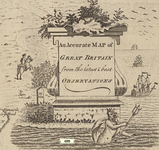
cartouche
title
An Accurate MAP of GREAT BRITAIN from the latest & best OBSERVATIONS.On top of the slab are seaweeds? and below is Neptune with his trident; and on the right are ships; to the left is a gentleman on horseback, and a milestone:-
III Miles
compass rose
up is N
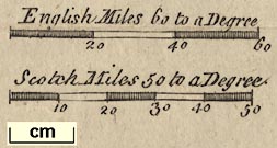
scale
English Miles 60 to a Degreechequered and labelled at 20 mile intervals. The 60 miles = 38.2 mm gives a scale 1 to 2527765 assuming a statute mile. The map scale is about:-
1 to 2500000
40 miles to 1 inchand:-
Scotch Miles 50 to a Degreechequered and labelled at 10 mile intervals. The 50 scottish miles = 37.4 mm.
longitude, Winchester = 1d 22mNotice that the longitude of Winchester is frequently not a good guide to the location of the prime meridian on maps of the whole country.
sea plain
ENGLISH CHANNEL
STR. OF DOVER
Race of Portland
coast shaded
headlands
harbours
Beachy Hd.
St Catherines Ptand a few harbours are labelled, eg:-
Falmouth HBut not Plymouth or Portsmouth harbours. The harbours of Portsmouth, Langstone and Chichester are badly drawn. But Southampton Water can be recognised.
Thames R
table of data
References to the Counties of England
1 Northumberland
...
51 Hampshire
52 SussexThis includes the welsh counties, but the scottish counties areas are labelled by name.
Winchester
Kingsclere
Rumsey
road distances
from London; through Firmley [sic], Surrey; 22 miles to Basingstoke, then Whitchurch, 6 to Andover, Hampshire; then to Salisbury, Wiltshire; and on to Lands End.
branch from Basingstoke, 17 miles to Stockbridge, Hampshire; then to Salisbury, Wiltshire; etc.
from Chichester, Sussex; to Petersfield, 16 miles to Winchester, Southampton, Rumsey, Ringwood, Christ Church, Hampshire; to Pool, Dorset.
branch from Christ Church to Limington, Hampshire.
probably the direct road from Oxford; then the cross road through Newbury, Berkshire; then Kingsclare, Basingstoke, [Alton], Petersfield, Hampshire; continued as a direct road to Chichester, Sussex.


[Alton is marked but not labelled]
Andover
Basingstoke
-
Christ Church
-
-
-
-
Kingsclare
Limingt[ ]
-
-
Petersfield
Portsmouth
Ringwood
Rumsey
Southampton
Stockbridge
Whitchurch
Winchester


Spencer, Nathaniel: 1772: Complete English Traveller, The: Cooke, John (London)
THE Complete English Traveller; OR, A NEW SURVEY and DESCRIPTION of ENGLAND AND WALES. CONTAINING A full ACCOUNT of whatever is CURIOUS and ENTERTAINING IN THE Several COUNTIES of ENGLAND and WALES, The ISLES of MAN, JERSEY, GUERNSEY, And other ISLANDS adjoining to, and dependent on the CROWN of GREAT BRITAIN; ... TO WHICH IS ADDED, A Concise and Accurate DESCRIPTION of that Part of GREAT BRITAIN called SCOTLAND. ITS ANCIENT and PRESENT STATE, ANTIQUITIES and NATURAL CURIOSITIES: TOGETHER WITH The MANNERS and CUSTOMS of the INHABITANTS, &C., BY NATHANIEL SPENCER, Esq; By the KING's Royal LICENCE and AUTHORITY. ...
LONDON: Printed for J. COOKE, at Shakespear's-Head, in Pater-Noster-Row. MDCCLXXII.


