|
private collection:-
|
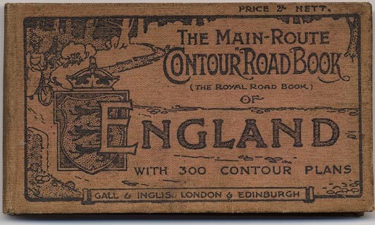
Road book, Main Route Contour Road Book of England, published by Gall and
Inglis, 12 Newington Road, Edinburgh, Lothian, 1900s.
|
|
The road book - explanation page; title page; table of lighting times; preface;
list of London routes; then a series of route descriptions - a contour diagram
of the road showing distances and elevation, itinerary describing the road
quality, and a table of distances; index to places; and a general road map of
England and Wales with a grid relating to lighting up times.
|
|
The routes relevant to Hampshire are (not all have diagrams):-
|
|
route 12, Brighton to Southampton
|
|
route 18, London to Portsmouth
|
|
route 19, Southampton to Poole
|
|
route 20, Southampton to Lymington and Christchurch
|
|
route 21, London to Winchester and Southampton
|
|
route 22, Winchester to Poole
|
|
route 23, London to Salisbury
|
|
route 24, Southampton to Salisbury
|
|
route 25, Salisbury to Christchurch
|
|
route 32, London to Aldershot
|
|
route 55, Oxford to Southampton
|
|
route 57, Oxford to Basingstoke
|
|
route 226, Dorchester to Ringwood
|
|
inscription:- |
printed -on- cover
PRICE 2/- NETT. / THE MAIN-ROUTE / CONTOUR ROAD BOOK / (THE ROYAL ROAD BOOK)
/ OF / ENGLAND / WITH 300 CONTOUR PLANS / GALL & INGLIS LONDON & EDINBURGH
-- black on red (faded); lady and gentleman on bicycles, coat of arms of
England |
|
inscription:- |
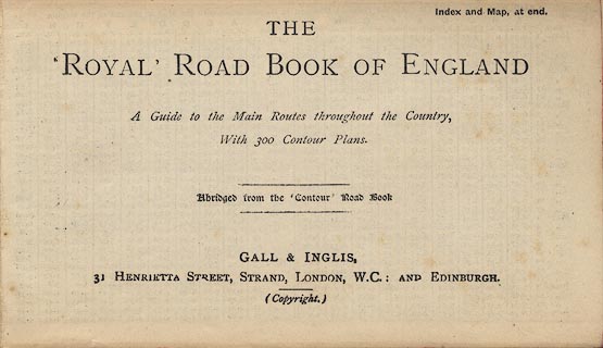
printed -on- tile page
THE / 'ROYAL' ROAD BOOK OF ENGLAND / A Guide to the Main Routes throughout
the Country, / With 300 Contour Plans. / Abridged from the 'Contour' Road Book /
GALL & INGLIS / 31 HENRIETTA STREET, STRAND, LONDON, W.C.: AND EDINBURGH. /
(Copyright.)
|
|
dimension:- |
wxh = 16x9cm |
 |
|

|
Map Group -- Gall and Inglis 1900s -- with Research Notes
|
 |
|

| top of page |
| MN: 16.1.2004 |


