|
private collection:-
|
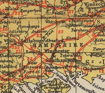
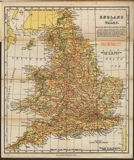
Road map, England and Wales, scale about 33 miles to 1 inch, in the Main
Route Contour Road Book of England, published by Gall and Inglis, 12 Newington
Road, Edinburgh, Lothian, 1900s.
|
|
The map is an index map showing superior and ordinary main routes with a number
referring to the route in the road book; there is an index grid to the table of
lighting up times.
|
|
map feature:-
|
up is N & lat and long scales (conical projection) & scale line &
rivers & relief & hill hachuring & county & settlements &
roads & lighting up time |
|
inscription:- |
printed -on- upper right
ENGLAND / AND / WALES
|
|
inscription:- |
printed -on- bottom
GALL & INGLIS, EDINBURGH & LONDON
|
|
scale line:-
|
50 miles = 38.2 mm |
|
dimension:- |
wxh, sheet = 28.5x33.5cm |
|
wxh, map = 267x312mm |
|
scale = 1 to 2100000 ? (1 to 2106471 from scale line assuming a statute
mile) |
 |
|

|
Map Group -- Gall and Inglis 1900s -- with Research Notes
|
 |
|

| top of page |
| MN: 16.12.2002 |


