Map Collection

Cole and Roper 1810
private collection:- 
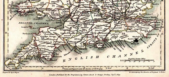
Map, hand coloured engraving, England and Wales, index sheet to the British Atlas, scale about 43 miles to 1 inch, engraved by J Cole under the direction of E W Brayley, published by Vernor, Hood, and Sharpe, Poultry, London, 1809.
map feature:-  title cartouche & up is N & lat and long scales & scale line & table of symbols & table of counties & coast form lines & rivers & county & settlements & roads
inscription:-  printed -on- title cartouche ENGLAND AND WALES / FORMING AN INDEX MAP TO THE BRITISH ATLAS
scale line:-  70 miles = 41.3 mm
dimension:-  wxh, map = 204x255mm
scale = 1 to 2700000 ? (1 to 2727701 from scale line assuming modern mile)

  Map Group -- Cole and Roper 1810 -- with Research Notes

  top of page
MN: 16.12.2002