|
private collection:-
|
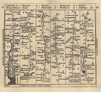
Strip map, road map, uncoloured engraving, part of the London to the Lands
End road, scale about 3.5 miles to 1 inch, published in Bowles's Post Chaise
Companion, by Carington Bowles, 69 St Paul's Churchyard, London, 1782.
|
|
vol.1 plate 45/45 - from London; via Staines, Middlesex; Bagshot, Surrey;
through Blackwater, Basingstoke, Whitchurch, Andover, and Middle Wallop,
Hampshire; then Salisbury and Beyond, Wiltshire.
|
|
map feature:-
|
not coloured & north point & up is destination & rivers & relief
& hill hachuring & county & settlements & roads & road
distances |
|
dimension:- |
wxh, sheet = 16.5x15.5cm |
|
wxh, map = 150x136mm |
|
scale = 1 to 230000 ? (rough estimate from road distances) |
 |
|

|
Map Group -- Bowles 1782 -- with Research Notes
|
 |
|

| top of page |
| MN: 27.8.2003 |


