|
private collection:-
|
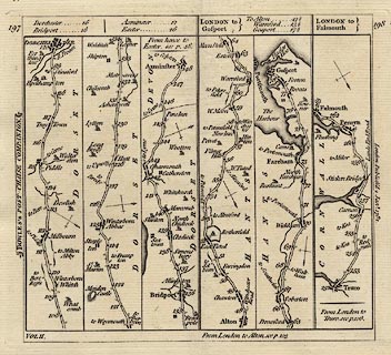
Strip map, road map, uncoloured engraving, part of the road from London to
Exeter, London to Gosport, and part of the road from London to Falmouth, scale
about 3.5 miles to 1 inch, published in Bowles's Post Chaise Companion, by
Carington Bowles, 69 St Paul's Churchyard, London, 1782.
|
|
vol.2 plate 197/198 - London to Gosport; from Alton, through Filmer Hill,
Wickham, and Fareham, to Gosport, Hampshire.
|
|
map feature:-
|
not coloured & north point & up is destination & coast form lines
& rivers & relief & hill hachuring & county & settlements
& roads & road distances |
|
dimension:- |
wxh, sheet = 16.5x15.5cm |
|
wxh, map = 150x137mm |
|
scale = 1 to 230000 ? (rough estimate from road distances) |
 |
|

|
Map Group -- Bowles 1782 -- with Research Notes
|
 |
|

| top of page |
| MN: 27.8.2003 |


