 |
more images |
|
private collection:-
|
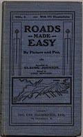
Road book, illustrated itineraries, Roads Made Easy by Picture and Pen, by
Claude Johnson, published by The Car Illustrated, 168 Piccadilly, London,
1907.
|
|
vol.1 for southern England - London to Bristol and west; Salisbury, Exeter and
Lands End; Plymouth; Winchester and Weymouth; Southampton; Guildford and
Portsmouth; Worthing; Brighton; Eastbourne; Hastings; Folkestone; Canterbury and
Dover; etc.
|
|
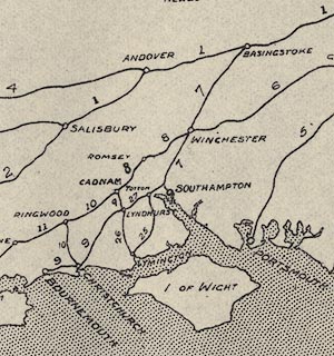
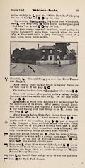
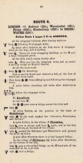
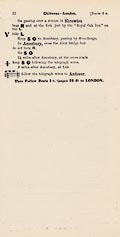
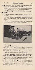
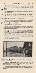
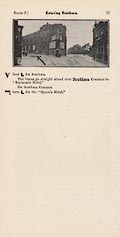
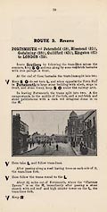
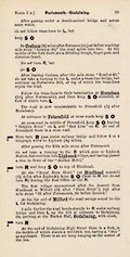
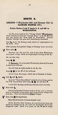
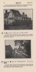
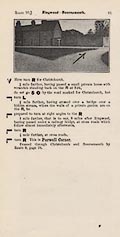
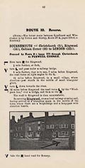
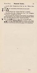
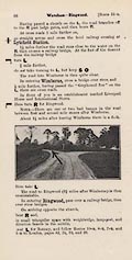
There is an index map to the routes; an outline map of southern England showing
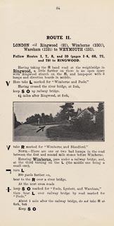
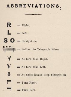
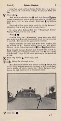
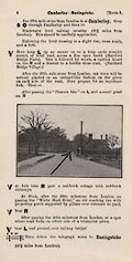
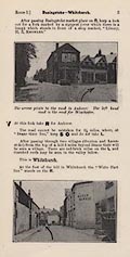
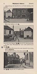
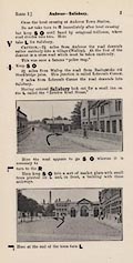
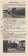
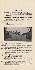
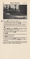
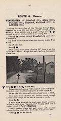
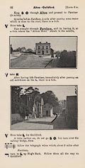
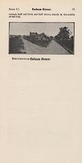
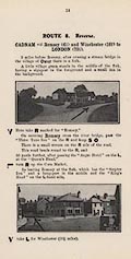
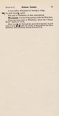
the routes, each with its route number. Routes are described, and illustrated by
photographs with an added arrow to show the driver where to go.
|
|
inscription:- |
printed -on- cover
VOL. 1 With 174 Illustrations. / ROADS / MADE / EASY / By Picture and Pen. /
Compiled by / CLAUDE JOHNSON. / Edited by / LORD MONTAGU. / LONDON: / THE CAR
ILLUSTRATED, LTD., / 168, PICCADILLY, W.
-- black on blue; location map |
|
dimension:- |
wxh = 12.5x21cm |
 |
|

|
Map Group -- Johnson 1907 -- with Research Notes
|
 |
|
|

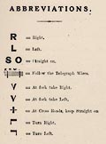

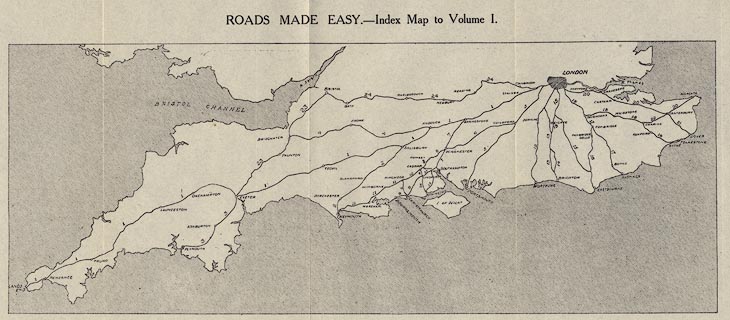
|
ROUTE 1:-
p.3
p.4
p.5
p.6
p.7

|
 |
 |
 |
 |
 |
 |
 |
 |
 |
 |
|
ROUTE 1R:-
p.28
p.29
ROUTE 4:-
p.43
ROUTE 4R:-
p.52
|
 |
 |
 |
 |
 |
 |
 |
 |
|
 |
|
ROUTE 5:-
p.55
p.56
p.57
ROUTE 5R:-
p.58
p.59
|
 |
 |
 |
 |
 |
 |
 |
 |
 |
 |
|
ROUTE 6:-
p.63
p.64
ROUTE 6R:-
p.65
p.66
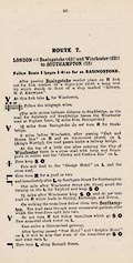
ROUTE 7:-
p.68
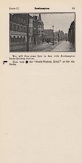
p.69
|
 |
 |
 |
 |
 |
 |
 |
 |
 |
 |
 |
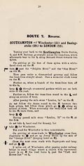
ROUTE 7R:-
p.70
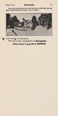
p.71
ROUTE 8:-
p.72
p.73
ROUTE 8R:-
p.74
p.75
|
 |
 |
 |
 |
 |
 |
 |
 |
 |
 |
 |
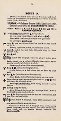
ROUTE 9:-
p.76
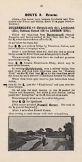
ROUTE 9R:-
p.77
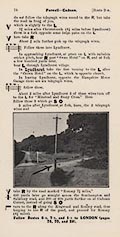
p.78
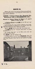
ROUTE 10:-
p.79
p.80
p.81
|
 |
 |
 |
 |
 |
 |
 |
 |
 |
 |
 |
ROUTE 10R:-
p.82
p.83
ROUTE 11:-
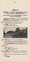
p.84
ROUTE 11R:-
p.88
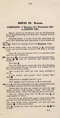
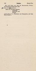
ROUTE 25:-
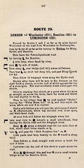
p.177
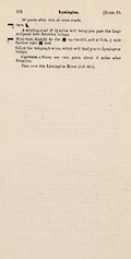
p.178
|
 |
 |
 |
 |
 |
 |
 |
 |
 |
 |
 |
ROUTE 25R:-
p.179
p.180
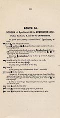
ROUTE 26:-
p.181
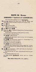
ROUTE 26R:-
p.182
|
 |
 |
 |
 |
 |
 |
 |
 |
|
 |
|
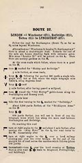
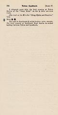
ROUTE 27:-
p.183
p.184
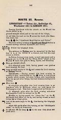
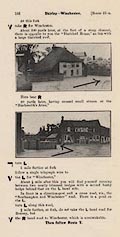
ROUTE 27R:-
p.185
p.186
|
 |
 |
 |
 |
 |
 |
 |
 |
|
 |
|


