|
FA1998.10:-
|
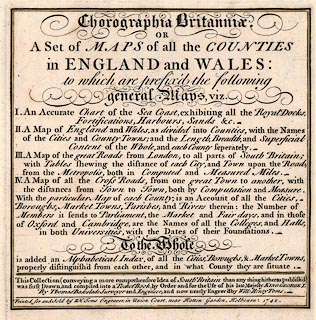
Title page, from Chorographia Britannia, an atlas of Counties of England and
Wales, including harbours, roads etc, drawn by Thomas Badeslade, engraved by
William Henry Toms, Union Court, Holborn, London, 1742.
|
|
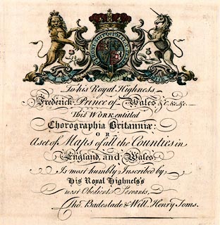
A second page has the dedication to Frederick, Prince of Wales, and a coat of
arms.
|
|
inscription:- |
printed -on-
Chorographia Britannia. / OR / A set of MAPS of all the COUNTIES / in
ENGLAND and WALES: / to which are prefix'd the following / general Maps, viz. /
I. An Accurate Chart of the Sea Coast, exhibiting all the Royal Docks, /
Fortifications, Harbours, sands, &c. / II. A Map of England and Wales, ... /
III. A Map of the great Roads from London, to all parts of South Britain; / with
Tables shewing the distances ... / IV. A Map of all the Cross Roads, ... /
...
|
|
inscription:- |
printed -on- bottom
This Collection (conveying a more comprehensive Idea of South Britain than
any thing hitherto publish'd) / was first Drawn and compiled into a Pocket Book
by Order and for the Use of his late Majesty KING GEORGE I. / By Thomas
Badeslade Surveyor and Engineer; and now newly Engrav'd by Will: Henry Toms.- /
Printed for and Sold by W H Toms Engraver, in Union Court, near Hatton garden,
Holborn. 1724.
|
|
dimension:- |
wxh = 26x24cm |
 |
|

|
Map Group -- Badeslade 1742 -- with Research Notes
|
 |
|

| top of page |
| MN: 4.10.2001 |


