|
FA2000.1:-
|
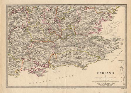
Map, England, plate 5, south east, scale about 12 miles to 1 inch, by J and C
Walker, published for the Society for the Diffusion of Useful Knowledge, by
Baldwin and Cradock, 47 Paternoster Row, London, 1830.
|
|
Most of Gloucestershire, Oxfordshire, Buckinghamshire, Hertfordshire, Essex,
Middlesex, London, Berkshire, Wiltshire, Dorset, Hampshire, Isle of Wight,
Surrey, West Sussex, East Sussex, Kent.
|
|
map feature:-
|
scale line & lat and long scales & lat and long grid & rivers &
relief & hill hachuring & county & settlements & roads |
|
inscription:- |
printed -on- lower right
ENGLAND / V / Published under the Superintendence of the Society for the /
Diffusion of Useful Knowledge. ....
|
|
inscription:- |
printed -on- bottom centre
Published by Baldwin & Cradock 47 Paternoster Row June 25th. 1830
|
|
inscription:- |
printed -on- bottom right
J. & C. Walker, Sculpt.
|
|
scale line:-
|
30+10 miles= 83.9 mm |
|
dimension:- |
wxh, sheet = 41x34.5cm |
|
wxh, map = 376x261mm |
|
scale = 1 to 770000 ? (1 to 767268 from scale line assuming a statute mile) |
 |
|

|
Map Group -- Walker 1830 -- with Research Notes
|
 |
|
|
town names:-
|
|
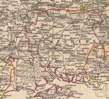
Hampshire
|
Hampshire
|
|
map name
|
modern name
|
|
Alton
|
Alton
|
|
Andover
|
Andover
|
|
Basingstoke
|
Basingstoke
|
|
Bishops Waltham
|
Bishops Waltham
|
|
Christ Church
|
Christchurch
|
|
Fareham
|
Fareham
|
|
Fordingbridge
|
Fordingbridge
|
|
Gosport
|
Gosport
|
|
Havant
|
Havant
|
|
Kingsclere
|
Kingsclere
|
|
Lymington
|
Lymington
|
|
Alresford
|
Alresford
|
|
Odiham
|
Odiham
|
|
Petersfield
|
Petersfield
|
|
Portsmouth
|
Portsmouth
|
|
Ringwood
|
Ringwood
|
|
Romsey
|
Romsey
|
|
Southampton
|
Southampton
|
|
Stockbridge
|
Stockbridge
|
|
Whitchurch
|
Whitchurch
|
|
Winchester
|
Winchester
|
|
 |
|

| top of page |
| MN: 3.5.2003 |


