 |
more images |
|
FA2003.1.11:-
|
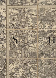
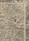
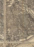
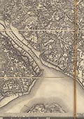
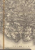
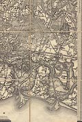
Map, uncoloured engraving, One inch map Old Series, sheet 11, Winchester,
including parts of Hampshire, scale 1 inch to 1 mile, published under the
direction of LtCol Mudge, Ordnance Survey, Tower of London, London, 1810;
edition about 1855?
|
|
The map includes Bishops Waltham, Fareham, Gosport, Havant, Lymington,
Petersfield, Portsmouth, Romsey, Southampton, and Winchester, Hampshire; a small
part of West Sussex; and the Cowes area, Isle of Wight.
|
|
The map shows several railways - London and Southampton Railway, Bishopstoke to
Gosport branch railway, Fareham to Cosham branch railway, Chichester to
Portsmouth Railway, Eastleigh to Salisbury Railway, and Southampton and
Dorchester R suggesting a date for the map after 1848.
|
|
The end sections are backed by green 'cloth' covers; the map is bound with green
ribbon; a tab '11' protrudes from the folded map.
|
|
map feature:-
|
not coloured & sectioned for folding & mounted & folded (4x5 pieces)
& scale line & piano key border & coast form lines & coast
appearance & rivers & woods & forests & relief & hill
hachuring & parks & county & settlements & roads & railways
& canals |
|
inscription:- |
printed -on- top left
Engraved at the Drawing Room in the Tower under the Direction of Lt. Coll.
Mudge, by Benjn. Baker & Assistants - The Writing by Ebenr. Bourne.
|
|
inscription:- |
printed -on- top left
Price Two Shillings
|
|
inscription:- |
printed -on- top right, outside border
No.XI / 11
|
|
inscription:- |
printed -on- right border
Parallel to the Meridian at Greenwich
|
|
inscription:- |
printed -on- bottom centre, border
Meridian of Dunnose / Latitude 50[d]. 37[m]. 8[s]. / Longitude 1[d]. 11[m].
36[s]. West
-- marking the meridian which is also in the top border |
|
inscription:- |
printed -on- bottom centre
Printed from an Electotype
|
|
inscription:- |
printed -on- bottom left
Published 10th. April 1810, by Lt. Coll. Mudge, Tower.
|
|
inscription:- |
printed -on- across map
S H I R E
|
|
inscription:- |
printed -on- in borders, top, right, bottom, left
12 / 9 / 10 / 15
-- next sheet numbers |
|
scale line:-
|
5+1 miles = 149.1 mm |
|
dimension:- |
wxh, folded = 13.5x24cm |
|
wxh, sheet = 97x67cm |
|
wxh, map (borders; includes gaps) = 78.5x63cm |
|
scale = 1 to 63360 (nominal) |
 |
|
|
reference:- |
Harley, J B (intro) & O'Donoghue, Yolande (intro): 1981: Old Series Ordnance
Survey Maps of England and Wales & South-central England: Margary, Harry (Lympne
Castle, Kent): vol.3: ISBN 0 903541 03 3 |

|
Map Group -- OS 1810s Old Series -- with Research Notes
|
 |
|


