 |
more images |
|
FA2003.1.12:-
|
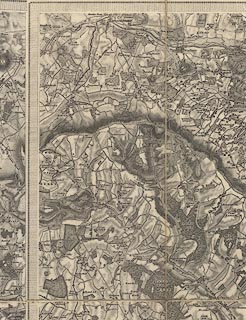
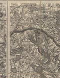
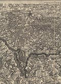
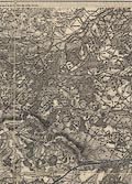
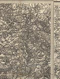
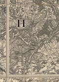
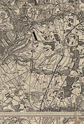
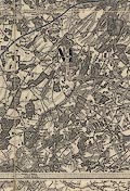
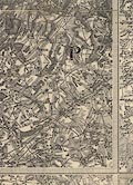
Map, uncoloured engraving, One inch map Old Series, sheet 12, Basingstoke,
including part of Hampshire, scale 1 inch to 1 mile, published under the
direction of LtCol Mudge, Ordnance Survey, Tower of London, London, 1817.
|
|
The map includes Alton, Andover, Basingstoke, Alresford, Odiham, Stockbridge,
and Whitchurch, Hampshire; Newbury, Hungerford, etc, berkshire; and a detached
part of Wiltshire in Berkshire. The map is about 'state 7e' with some
re-engraving of the the River Test south of Stockbridge.
|
|
The map shows the London and Southampton Railway.
|
|
The are red diamond labels on the end sections to show the correct folding, the
front label with sheet number '12.'; there is a location map on the front
section, cut from an index sheet for the map series; the map is edged with blue
ribbon.
|
|
map feature:-
|
not coloured & sectioned for folding & mounted & folded (4x2 pieces)
& scale line & piano key border & rivers & woods & forests
& relief & hill hachuring & parks & county & settlements
& roads & railways & canals |
|
inscription:- |
printed -on- top left
Price Seven Shillings
|
|
inscription:- |
printed -on- top centre border
Sold by Jas. Gardner, Agent for the Sale of the Ordnance Maps 163, Regent
Street, London.
|
|
inscription:- |
printed -on- top right, outside border
No.XII
|
|
inscription:- |
printed -on- bottom right
Engraved at the Drawing Room in the Tower under the Direction of Coll.
Mudge, by Benjn. Baker & Assistants - The Writing by Ebenr. Bourne.
|
|
inscription:- |
printed -on- bottom centre, border
Meridian of Dunnose / Latitude 50[d]. 37[m]. 8[s]. / Longitude 1[d]. 11[m].
36[s]. West
-- marking the meridian which is also in the top border |
|
inscription:- |
printed -on- bottom left
Published 14th. Augt. 1817, by Coll. Mudge, Tower.
|
|
inscription:- |
printed -on- across map
H A M P
|
|
inscription:- |
printed -on- in borders, top, right, bottom, left
13 / 8 / 11 / 14
-- next sheet numbers |
|
inscription:- |
embossed -on- upper right
TC
-- oval monogram |
|
scale line:-
|
5+1 miles = 149.1 mm |
|
dimension:- |
wxh, folded = 24.5x32.5cm |
|
wxh, sheet = 96.5x64.5cm |
|
wxh, map (borders; includes gaps) = 77.5x62cm |
|
scale = 1 to 63360 (nominal) |
|
wxh, location map = 75x60mm |
 |
|
|
reference:- |
Harley, J B (intro) & O'Donoghue, Yolande (intro): 1981: Old Series Ordnance
Survey Maps of England and Wales & South-central England: Margary, Harry (Lympne
Castle, Kent): vol.3: ISBN 0 903541 03 3 |

|
Map Group -- OS 1810s Old Series -- with Research Notes
|
 |
|


