 |
more images |
|
FA2003.1.16:-
|
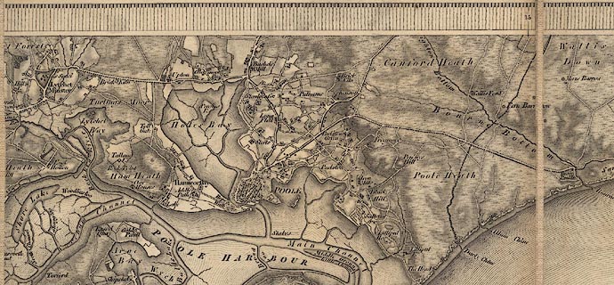
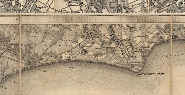
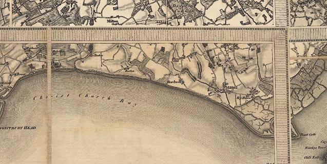
Map, uncoloured engraving, One inch map Old Series, sheet 16, Poole,
including parts of Hampshire, scale 1 inch to 1 mile, published under the
direction of LtCol Mudge, Ordnance Survey, Tower of London, London, 1811;
edition about 1836.
|
|
The map includes Christchurch, Poole, etc, Dorset; west parts of Hampshire; and
the Needles off the Isle of Wight.
|
|
map feature:-
|
not coloured & sectioned for folding & mounted & folded (4X4 pieces)
& scale line & piano key border & coast form lines & coast
appearance & rivers & woods & forests & relief & hill
hachuring & parks & county & settlements & roads |
|
inscription:- |
ms -on- outer front section
O.S. 1[in] / No.16 / Christ Church / Poole / Wareham / [I]ED. / 1811 / 16 /
Dorset
|
|
inscription:- |
printed -on- top left
Price Three Shillings
|
|
inscription:- |
printed -on- top right, outside border
No.XVI
|
|
inscription:- |
printed -on- right border
Parallel to the Meridian of Greenwich
|
|
inscription:- |
printed -on- bottom centre, in border
Sold by Jas. Gardner, Agent for the Sale of the Ordnance Maps 163, Regent
Street, London.
|
|
inscription:- |
printed -on- bottom left
Published 10th. April 1811, by Lt. Coll. Mudge, Tower.
|
|
inscription:- |
printed -on- left border
Parallel to the Meridian of Butterton Hill
|
|
inscription:- |
printed -on- in borders, top, right, bottom, left
15 / 10 / / 17
-- next sheet numbers |
|
inscription:- |
-on-
[1836]
|
|
scale line:-
|
5+1 miles = 149.1 mm |
|
dimension:- |
wxh, folded = 17X21cm |
|
wxh, sheet = 81.5x67cm |
|
wxh, map (borders; includes gaps) = 80x64cm |
|
scale = 1 to 63360 (nominal) |
 |
|
|
reference:- |
Harley, J B (intro) & O'Donoghue, Yolande (intro): 1981: Old Series Ordnance
Survey Maps of England and Wales & South-central England: Margary, Harry (Lympne
Castle, Kent): vol.3: ISBN 0 903541 03 3 |

|
Map Group -- OS 1810s Old Series -- with Research Notes
|
 |
|


