 Map Group MARSHALL 1798


The map is before the title page of volume 2. It covers the central south east of England - parts of Berkshire, Middlesex, Surrey, East Sussex, West Sussex, Hampshire, Dorset and the Isle of Wight. Remember that these notes are about Hampshire and take little notice of the adjacent counties.


'THE RURAL ECONOMY OF THE SOUTHERN COUNTIES; COMPRIZING KENT, SURREY, SUSSEX; THE ISLE OF WIGHT; THE CHALK HILLS OF WILTSHIRE, HAMPSHIRE, &c: AND INCLUDING THE CULTURE AND MANAGEMENT OF HOPS, IN THE DISTRICTS OF MAIDSTONE, CANTERBURY, AND FARNHAM. BY MR. MARSHALL. IN TWO VOLUMES. VOL. II. LONDON: PRINTED FOR G. NICOL, BOOKSELLER TO HIS MAJESTY, PALL-MALL; G. G. AND J. ROBINSON, PATERNOSTER-ROW; AND J. DEBRETT, PICCADILLY. 1798.'


engraver
publisher

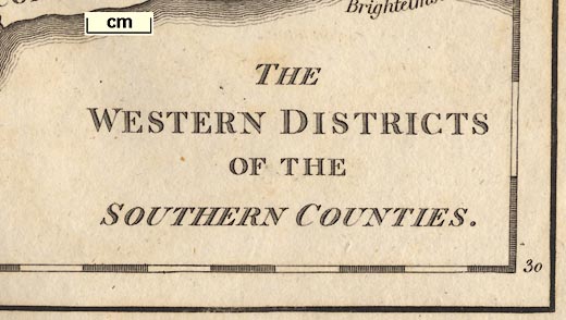
THE WESTERN DISTRICTS OF THE SOUTHERN COUNTIESThe map covers the east edge of Wiltshire; most of Hampshire; most of West Sussex; Surrey; the edge of London; part of Middlesex; part of Berkshire; and the Isle of Wight. Say:-
SU15__ to TQ25__
SZ__75 to SU__81Printed bottom left is:-
Mutlow sc Russel CourtPrinted at the bottom:-
Published July 1798, by G. G & J. Robinson, Pater Noster Row, G. Nicoll, Pall Mall, & J. Debret, Piccadilly. / to be put in with a Guard before the Title Page of Vol. II.
compass rose

The map has a very simple compass rose upper left of centre. There are lines for the cardinal directions in a double circle; north marked by a fleur de lys, east by a cross.

The scales are chequered at 5 minute intervals, labelled at 15 minute intervals - except the labelling is missing on the bottom border.
Calculations from the measured positions of the scale marks show that the graticule could be trapezoid, but lacking the graticule this assumes that the meridians would have been straight lines. The 1 degree meridian is nearly central. The bottom scale lacks labels. Placing '1 degree W' at the 5 minute mark S of St Helens Point on the map seems to be best. This meridian, fairly central on the page, then has almost no slant. The latitude of Winchester then reads as 1d 13.5m W which is a likely value at this date, implying a prime meridian on the west side of London.
The prime meridian, 0 degree W, is labelled at the top, west of the centre of London.
The ratio of lat/long scales is right for Hampshire, 51 degrees N.
The 1 degree W meridian is vertical on the page; other meridians slope in towards it at the North. The parallels are horizontal on the page.The ratio of longitude scales top/bottom = 1.14. The latitude at the top is estimated as 51d 28.7m, at bottom 50d 30m. For a simple trapezoid projection the expected ratio for the scales is 1.02. The map's graticule is more trapezoid than it should be.
BUT as we do not know what projection the map maker was using, this is an unfair conclusion. His projection might be in just the proportions he wanted.
The map scale might be estimated from the latitude scale.
sea plain
coast form lines

The coast is emphasised by form lines which extend into harbours and estuaries.

Some of the county's [Hampshire's] main rivers are shown. For what appears to be a map of the physical geography of the county and region, relief, rivers, soils, there are some glaring errors. There is no River Itchen. The Loddon/Lyde system looks wrong. Test and Meon are cut short. ...
Rivers are generally not named.
hill hachuring

Relief is suggested by crude hill hachuring, outlining the chalk downland, which is marked by 'grass' symbols. There is some labelling of hill areas, eg:-
The WESTERN DIVISION of the CHALK HILLSfor the North Hampshire downs.
Elsewhere on the map is:-
The EASTERNand:-
SOUTHERN DIVISION of thesuggesting that this map should be seen with an accompnying east sheet.
A valley is named, the Wey's valley south of Alton:-
VALLEY of FARNHAM

The county boundary is a dotted line, fairly smoothed out in places. In places the engraving of the county boundary is abandoned in favour of a river. Counties are not named.

A small number of places are marked, positioned by a circle, all labelled in italic lowercase text. In Hampshire all are market towns, except Weyhill which is presumably included for the importance of its sheep fair.


Alton
Andover
Basingstoke
Bishops Waltham
Christchurch
Fareham
Fordingbridge
Gosport
Havant
Kingsclere
Lymington
Alresford
Odiham
Petersfield
Portsmouth
Ringwood
Romsey
Southampton
Stockbridge
Whitchurch
Winchester


