|
Research Notes
 Map Group RICHARDSON 1789
|
 |
|
Richardson 1789
|


|
|
|
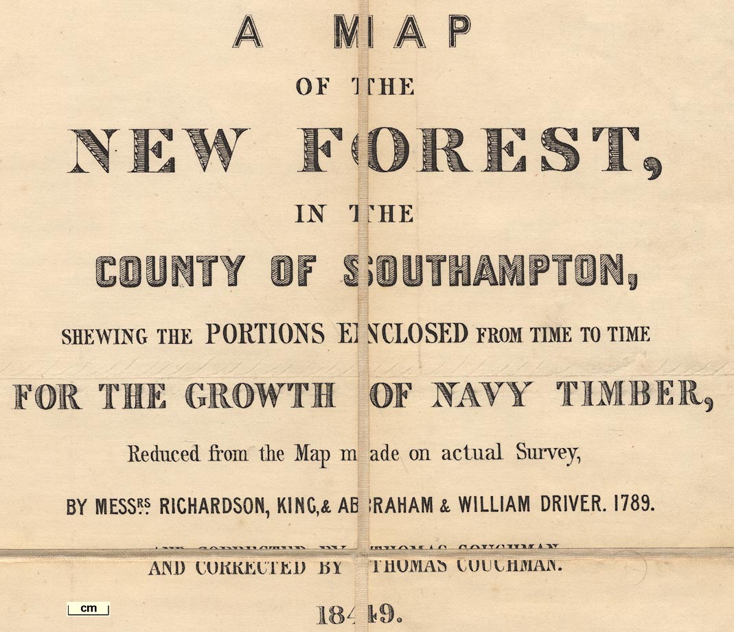
Map of the New Forest, Hampshire, scale about 1.5 inches to 1 mile, showing portions enclosed for Navy Timber, by Richardson, King, Abraham and William Driver, 1789, corrected by Thomas Couchman, 1849, corrected to 1867.
A copy of this map is in the Map Collection of Hampshire CC Museums Service, item HMCMS:FA1999.75
|
 |
PUBLISHING HISTORY |
 |
ITEMS in the Collection |
 |
|
| PUBLISHING |
HISTORY |
|
|
Plan of His Majesty's Forest, called The New Forest ..., Hampshire, scale about 1.5 inches to 1 mile, by Thomas Richardson, William King, and Abraham and William Driver, engraved and published by William Faden, London, 1789
|
|
Printed in 9 sheets plus an index sheet. |
|
Published in a second edition with corresponding index sheet,
1814. |
|
Published in another edition, Map of the New Forest, showing portions
enclosed for Navy Timber, reduced, corrected by Thomas Couchman, 1849,
lithographed by Standige and Co, Old Jewry, London, printed by Henry Hansard,
London. |
|
The 1849 edition is included in 'Reports from Committees: 18 volums. Woods,
Forests and Land Revenues. Session ... 1847 ... 1848 ...' for the Select
Committee on Woods and Works. |
|
Published in another revision corrected to 1867. |

| top of page |
 |
|
|
ITEMS |
in HMCMS Map Collection (scanned item in bold)
|

|
HMCMS:FA1999.75 -- map
|

| top of page |
|
 |
All Old Hampshire Mapped Resources |

 Map Group RICHARDSON 1789


