|
Research Notes
 Map Group -- WALKER 1837
|
 |
|
Walker 1837
|


|
|
|
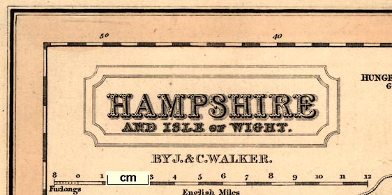
Map, Hampshire, scale about 4.5 miles to 1 inch, by John and Charles Walker,
derived from the Ordnance Survey and others, published by Longman, Rees and Co,
Paternoster Row, London, 1837 in a 'British Atlas' with a royal dedication; published 1837-70.
|
| |
 |
PUBLISHING HISTORY |
 |
REFERENCES |
 |
ITEMS in the Collection |
 |
|
| PUBLISHING |
HISTORY |
|
Published in 'To their Royal Highnesses The Duchess of Kent and the
Princess Victoria, This British Atlas, Comprising separate Maps of every County
in England each Riding in Yorkshire and North and South wales Showing the Roads,
Railways, Canals, Parks, Boundaries of Boroughs, &c. Compiled from the maps of
the Board of Ordnance and other Trigonometrical Surveys ... by ... J. & C.
Walker. Published March 1, 1837, by Longman, Rees & Co. Paternoster Row, and J.
& C. Walker, 3 Burleigh Street, Strand.' |
|
the atlas has a title page and 47 maps; its size is 13 3/8 x 16 1/2 ins. |
|
Published in a reprint 1837, after the accession of Victoria, with the
atlas dedication amended. |
|
Published in an edition, 1841. |
|
the map is the same, and is accompanied by a page of text of statistical tables
and a table of distances. |
|
Perhaps published in an edition, 1846. |
|
Lithograph version published in a Fox-Hunting Atlas by Hobson, 1850. |
|
Published in an edition, 1852; same as the 1841 edition. |
|
Published in an edition, 1862; there might be amendments, eg the
railways corrected. |
|
Published in an edition, 1870; with the railways brought up to date; it
is not clear whether railways, for example, are brought up to date for each
edition. |
|
Several of these are in the HMCMS Map Collection |
| |

| top of page |
 |
|
| REFERENCES |
|
|
|
Hobson: 1850: Fox Hunting Atlas |
|
Walker, J and C: 1837 & 1841 & 1846(?) & 1852 & 1862 & 1870: British Atlas:
Longman, Rees and Co & Walker, J and C (London) |
|
also see:-
|
|

|
related map group -- Hobson 1850
|

| top of page |
 |
|
|
ITEMS |
in HMCMS Map Collection (scanned item in bold)
|

|
HMCMS:FA1988.6 -- map
|

|
HMCMS:FA1998.5 -- title page
|

|
HMCMS:FA1998.138 -- map
|

|
HMCMS:FA1999.74 -- map
|

|
HMCMS:FA2001.184.1 -- map
|

| top of page |
|
 |
All Old Hampshire Mapped Resources |

 Map Group -- WALKER 1837


