|
Research Notes
 Map Group WALLIS 1812
|
 |
|
Wallis 1812
|


|
|
|
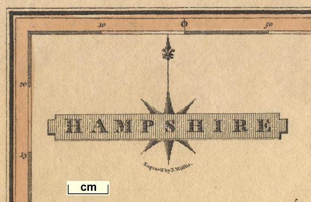
Map, Hampshire, scale about 9 miles to 1 inch, by James Wallis, London, 1812;
published 1812-14.
|
 |
PUBLISHING HISTORY |
 |
REFERENCES |
 |
ITEMS in the Collection |
 |
|
| PUBLISHING |
HISTORY |
|
Published in 'A New and Improved County Atlas. Wallis's New British
Atlas containing a complete set of County Maps divided into Hundreds in which
are carefully delineated all the Direct and Cross Roads, Cities, towns,
Villages, Parks, Seats, Rivers, and Navigable Canals, and a general Map of
England and Wales. The whole engraved in the most accurate manner from the
latest actual surveys. London: Published by J. Wallis, 1812.' |
|
The atlas size is 10 1/2 x 16 ins. |
|
Published in another edition '... Published by S. A. Oddy, 1812.'
probably 1813. |
|
The atlas size is 6 1/2 x 10 ins. |
|
Published as a 'Second Edition with Considerable Improvements &
Additions by G. Herbert, Geographer', 'London, Published by J. Wallis
1814'. |
|
One '... Improvement ...' on the 2nd edition is the addition of a meridian,
labelled 'Meridian of London', at 0 degrees. As this is really the 2 degree West
meridian the label is a bad mistake. |

| top of page |
 |
|
| REFERENCES |
|
|
|
Wallis, James: 1812: New and Improved County Atlas & Wallis's New British Atlas:
(London) |
|
Wallis, James: 1812: Wallis's New British Atlas: Oddy, S A (London) |
 |
|
|
ITEMS |
in HMCMS Map Collection (scanned item in bold)
|

|
HMCMS:FA1998.129 -- map
|

| top of page |
|
 |
All Old Hampshire Mapped Resources |

 Map Group WALLIS 1812


