|
Research Notes
 Map Group CARY 1809b
|
 |
|
Cary 1809b
|


|
|
|
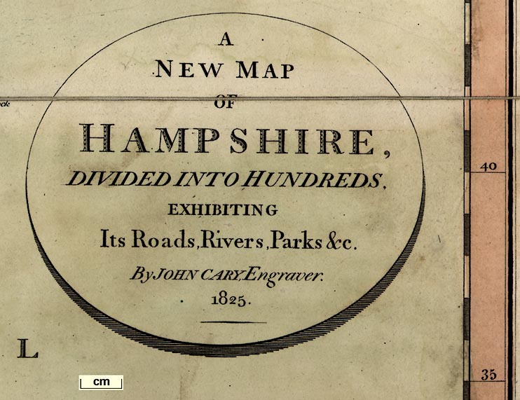
Map, Hampshire, scale about 2.5 miles to 1 inch, by John Cary, 181 Strand,
London, 1801, published 1809-34.
|
 |
JOHN CARY, MAP MAKER, b.1755 d.1835 |
 |
PUBLISHING HISTORY OF THIS MAP |
 |
REFERENCES |
 |
ITEMS in the Collection |
 |
|
| JOHN CARY, |
MAP MAKER, b.1755 d.1835 |
|
|
John Cary was born at Corsley, Wiltshire, 23 February 1755,
son of George and Mary Cary. There was an elder brother George
born 1753, and younger brothers Francis born 1756 and William
born 1759. John's father George was probably the son of George,
baptised at Corsley, 1703, buried there 1774; his mother Mary
died in London, 1799.
|
|
Local tradition and later research suggests that the Cary
family lived at Upper Whitbourne, now called Whitbourne Springs,
Corsely. Their house appears to have been what is now Whitbourne
Springs Farm on the south side of the triangle of Whitbourne
Springs. This was presuably John Cary's birthplace.
|
|
John Cary was apprenticed to an engraver in London, 1770. He
set up as an engraver, map seller, print seller and surveyor,
Strand, London, about 1783. He remained in the Strand, London,
changing address about 1791, until his premises were burnt down
in 1820. He then set up in St James's Street, London. His sons
George and John joined the business about 1820, and continued it
after John's death, to about 1850.
|

| top of page |
 |
|
| PUBLISHING |
HISTORY OF THIS MAP |
|
The atlas was issued in parts from 1801, bought together 1809 with a title page;
there is a general map of England and Wales; the atlas size is 13 x 20 3/4
ins. |
|
Published in 'Cary's New English Atlas; being a Complete Set of County
Maps, from actual surveys, corresponding in size with his general atlas; on
which are particularly delineated Those Roads which were measured by Order of
the Right Honourable the Postmaster-General, By John Cary, as well as all
others, both direct and cross; Rivers, Navigable Canals, Parks, Heaths, commons,
&c. &c. exhibiting also The whole of the Market and Borough Towns, Parishes and
Hamlets, as well as Places of inferior note. To which is added A Copious Index,
containing reference to the Hundreds, &c. in which the Places are situated, the
number of Houses, the Population, and the amount of Poor Rates paid by each, as
stated in the returns made to Parliament. London: printed for J. Cary, Engraver
and Map-seller, No.181, near Norfolk Street, Strand. 1809.' |
|
Published other editions 1811, 1818, 1825? 1828, 1834. |

| top of page |
 |
|
| REFERENCES |
|
|
Further information on this well known map maker can be found
in many sources, including:-
|
|
Chandler, John (ed): 1998: Printed
Maps of Wiltshire: Wiltshire Record Society:: ISBN 0 901333 29 8
Fordham, H G: 1925: John Cary,
engraver, map, chart, and print seller, and globe maker, 1754 to
1835 (a bibliography)
Rogers, Ken H: 1965: Corsley:
Victoria County History of Wiltshire: vol.8: pp.13-25
Smith, David: 1988: Cary Family:
Map Collector: no.43: pp.40-47
|
|
|
This map:-
|
|
|
Cary, John: 1809 & 1811: Cary's New English Atlas: (London) |
|
also see:-
|
|

|
related Map Group -- Cary 1801
|

| top of page |
 |
|
|
ITEMS |
in HMCMS Map Collection (scanned item in bold)
|

|
HMCMS:FA1988.26 -- map
|

|
HMCMS:FA1999.81 -- map
|

| top of page |
|
 |
All Old Hampshire Mapped Resources |

 Map Group CARY 1809b


