 Ogilby's Hampshire plates
1675
Roads
Click on the image
for a legible version
(large image)
|
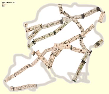
Ogilby's Hampshire plates 1675 Roads Click on the image for a legible version (large image) |
 
| Ogilby's Hampshire 1675, contents |

| General index |

| Old Hampshire Mapped |