
| Old Hampshire Mapped
|
|
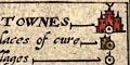
| Table of Symbols
Notes
|
| explanation
|
Some maps have a table of symbols to explain some of
the cartographic signs used on the drawing; others take
for granted that the signs are comprehensible. Other maps
have the signs explained in a header paragraph of the atlas,
not on the map sheet - this is not often available with a
map detached from its atlas.
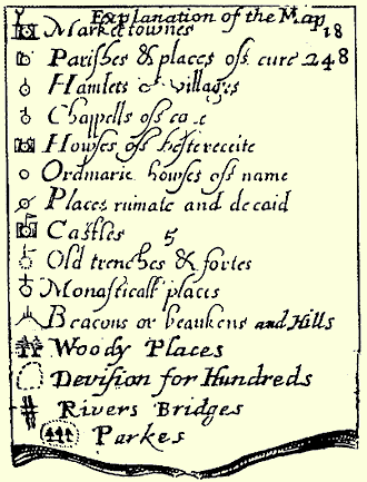
Symbols from a number of Hamshire maps studied have been tabulated.
|
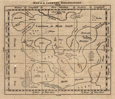
A Country
Exemplified
|
Probably from a late 18th century geography:-
|
| references
|
Campbell, E M J: 1962: Beginnings of the Characteristic Sheet to
English Maps: Geographical Journal: vol.128: pp.411-415 and figs 1-6
|

