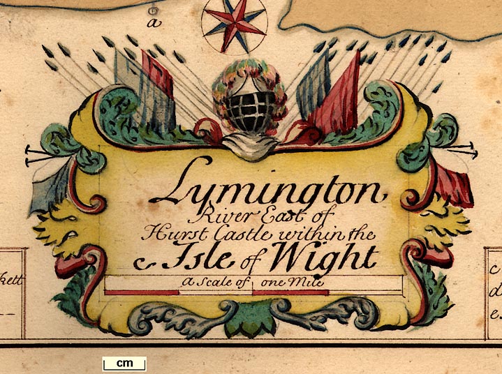
 Map Group DUMMER 1698


DEO DUCENTE
[Exdriel] Sculpt.
... very neatly drawn, an official manuscript.


A SURVEY of the Ports on the South West Coast of England from Dover to the Lands-end.
BY Edmd Dummer Surveyor & Capt. Tho. Wiltshaw Esqrs. Comrs. of his Ma Navy together wth. Capt. James Conaway & Capt. William Cruft Masters of Trinity House at Deptford
DELINEATED in July & Augst. 1698
Adressed By way of Letter to the Principal Officers and Comrs. of his Maties. Navy.
Gentn.
Having receiv'd Your directions grounded upon the Orders of the Rt. Honble the Lords of the Admty. of the 6th: of June last, For taking a Survey of the Ports Westward of Dover as farr as the Isle of Wight and thence to the Lands-end, and to give their Lopps. an Account which way, and at what Charge they may be made most usefull for ye Navy
Wee did in pursuance of the Same proceed on the said Services ye 4th. July last, and doe now present You with an Account of all that Wee judge observable of Them, with relation to the purposes of the said Order And thereunto Wee have annex'd a Description of each Place with referrances to the remarkable particulars of each Draught as their Condition and place respectively require for their Explanation.
And to the end You may take a fitt impression of the advantages conceivable to be reaped by improvements for the Services of the Navy, Within the Generall tract of the Sea Coast which is menconed in the said Order, besides what may be done at those Places which are already in use; Be pleas'd in the First place to Observe that the particular Places Wee have Viewed for the Same stand Named in their Course & Scituation from the said Port of Dover Westward as follows Vizt.
Havens : 1 : Rye
: 2 : Pemsey
: 3 : Cookmere
: 4 : Newhaven
Rivers : 5 : Shoreham
: 6 Arundall
: 7 Hampton
: 8 Bussleton
: 9 Beauley
: 10 Lymington
: 11 Christ Church
Ports : 12 Poole
: 13 Weymouth
: 14 Exmouth
: 15 Dartmouth
: 16 Fowey
: 17 Falmouth
: 18 Helford
By which Catalogue and by viewing the Description of the said Sea Coast in your Comon Mapps, you will perceive Wee have refused noe remarkable Place how inconsiderable or unfitt soever it might be for the purposes Wee were to enquire after; Lest the Overlooking any of them might leave room to doubt that compleatness in our Account as to the Sum Totall of Places wch. Wee conceive in an implyed Sence was intended to resolve the whole Question, Namely Whether there be any beside the Ports now in use upon the sd. Sea Coast capable of improvements, and which way and at what Charge to be made most usefull for the Navy.
And having said thus much for a preliminary to the whole, Wee shall proceed particularly upon each of them in their Order before recited, Begining wth: the Antient Port of Rye.

South Coast Harbours 1698


Robinson, A H W: 1962: Marine Cartography in Britain: Leicester University Press


