|
Research Notes
 Map Group GENT MAG 1770s
|
 |
|
Gent Mag 1770s
|


|
|
|
Canal maps, Andover Canal, scale about 2 miles to 1 inch, and Basingstoke
Canal, scale about 3.5 miles to 1 inch, in a series published in the Gentleman's
Magazine, 1770s.
|
|
A search of The Gentleman's Magazine in 1770-80s has found that the canal maps appear in the issues around 1771-72. The two
maps which concern Hampshire are those from Andover and from Basingstoke:-
|
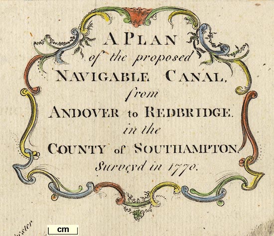
March 1772
|
A PLAN / of the proposed / NAVIGABLE
CANAL, / from ANDOVER to REDBRIDGE. / in the / COUNTY of
SOUTHAMPTON. / Surveyd in 1770. / ... / J Lodge Sculp.
|
April 1778
|
A PLAN of the Intended Navigable Canal
from BASINGSTOKE in the County of Southampton, to the River Wey
in the County of Surrey, / Surveyed in 1777.
|
|
The page size of the magazine is about 13x21cm. The
maps are wider, folded and bound into the yearly volumes in the Museum Library Collection, items HMCMS:B1999.518.1772.3.2,
HMCMS:B1999.518.1778.4.1 and HMCMS:FA1998.3
|
 |
REFERENCES |
 |
ITEMS in the Collection |
 |
|
| REFERENCES |
|
|
|
Klein, Christopher M: 1989: Maps in Eighteenth Century British Magazines:
Newberry Library (Chicago, Illinois, United States):: ISBN 0 911028 41 2 |
|
|
Urban, Sylvanus (ed): 1765=1775: Gentleman's Magazine: (London) |
|
also see:-
|
|

|
Gent Mag 1765, for information about The Gentleman's Magazine
|
 |
|
|
ITEMS |
in HMCMS Map Collection (scanned item in bold)
|

|
HMCMS:B1999.518.1772.3.2 -- canal map
|

|
HMCMS:B1999.518.1778.4.1 -- canal map
|

|
HMCMS:FA1998.3 -- canal map
|

| top of page |
|
 |
All Old Hampshire Mapped Resources |

 Map Group GENT MAG 1770s


