 |
Map features
Blome's Hampshire 1673 |
|
| Map feature |
Some images can be clicked for more information.
|
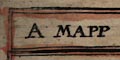 |
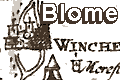
title cartouche, map maker,
dedication, and coat of arms |
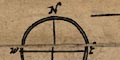 |
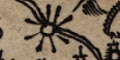
compass rose |
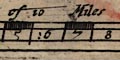 |
scale line |
 |
coast shaded; the sea is has some shading. |
 |
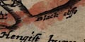
coastal defence, castles; a few shown. |
 |
rivers; wiggly lines narrowing upstream,
mostly not named. |
 |
bridges; marked by a double line over a
river. Mostly not named. |
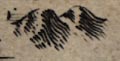 |
relief; hillocks shaded to the east. |
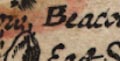 |
beacons; few, maybe beacon posts on a hill
top, or just a name. |
 |
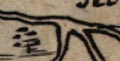
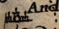
woods, forests; small tree symbols,
sometimes grouped into woods or forests. |
 |
parks; a ring of fence palings. Some
are named. |
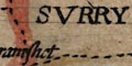 |
county boundary; dashed line, emphasised
by tinting; boundaries might separate adjacent counties, which
are labelled. |
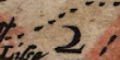 |
hundred boundary; dotted boundary, areas
keyed by number to a table of hundreds. |
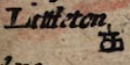 |
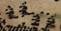
settlements; dot and circle plus elements
to distinguish hamlets, villages, towns, cities, etc |
 |
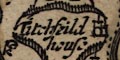
market towns, and other towns |
 |
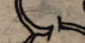
miscellany; antiquities - tents, watermills and windmill,
and copperas house.
|


